Sixteen Years on the Superior Hiking Trail: Cascade River to Temperance River
 The second leg of my Superior Hiking Trail journey began Sept. 14, 2001, at Cascade River State Park. Two friends dropped me off that Friday night at a campsite in the dark, then immediately turned around and drove back to Duluth. My first job was to get out a flashlight and put up my tent.
The big clumsy contraption I slept in the previous year had now been replaced with a fancy Marmot model I could scrunch into a tight bundle, which would make hiking a bit easier. This tent has gone on to serve me well for 15 years and counting, but I wasn’t impressed the first time I set it up. Yes, I broke a tent pole before I ever slept in the thing. Perhaps setting it up for the first time in the dark led me to force things too much. Whatever the case, a single broken pole is not a big deal and did little to hamper my experience.
The next morning I was up early and on my way. Maybe an hour into the hike, a bit of morning mucus had built up and I did what anyone alone in the woods in such a situation would do: I pushed one finger against the side of my nose, turned my head and blew snot out the other nostril. It was at that moment I noticed a female hiker was right behind me, and this would be how we would get to know each other.
“Oh, good morning,” is probably what I said. She replied with a hello, or something like that, and kept on hiking at a rapid pace. I think I saw her again when she stopped for a snack and I passed her. Then she passed me again later. I don’t remember how many times this happened.
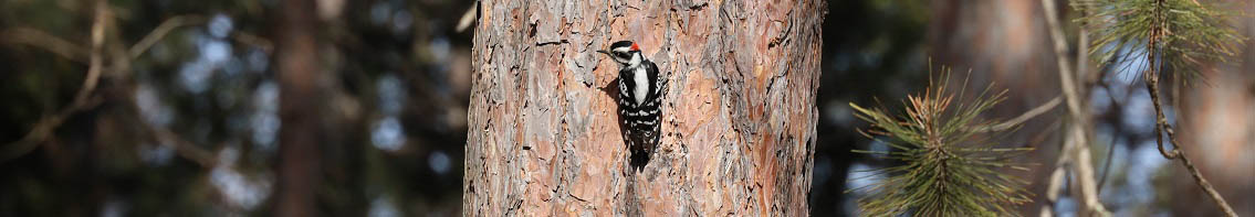
At the end of the day I arrived at the East Lake Agnes campsite. What I didn’t know until I got there is that it’s the best backwoods campsite on the trail. I didn’t take any photos, probably because I couldn’t wait to jump into the lake before dark. The video below, shot in 2013 by someone who calls himself “Hammock Camping Guy,” offers a glimpse of the area.
The best spot at the campsite, of course, was already taken by the gal I nearly blew snot on at the start of the day. I was the tortoise and she was the hare, though we weren’t really racing. Lake Agnes was the only camping area we shared, but each day it seemed like I would wake up early and climb ahead of her on the trail, then she would come tearing up on my heels before noon and leave me behind.
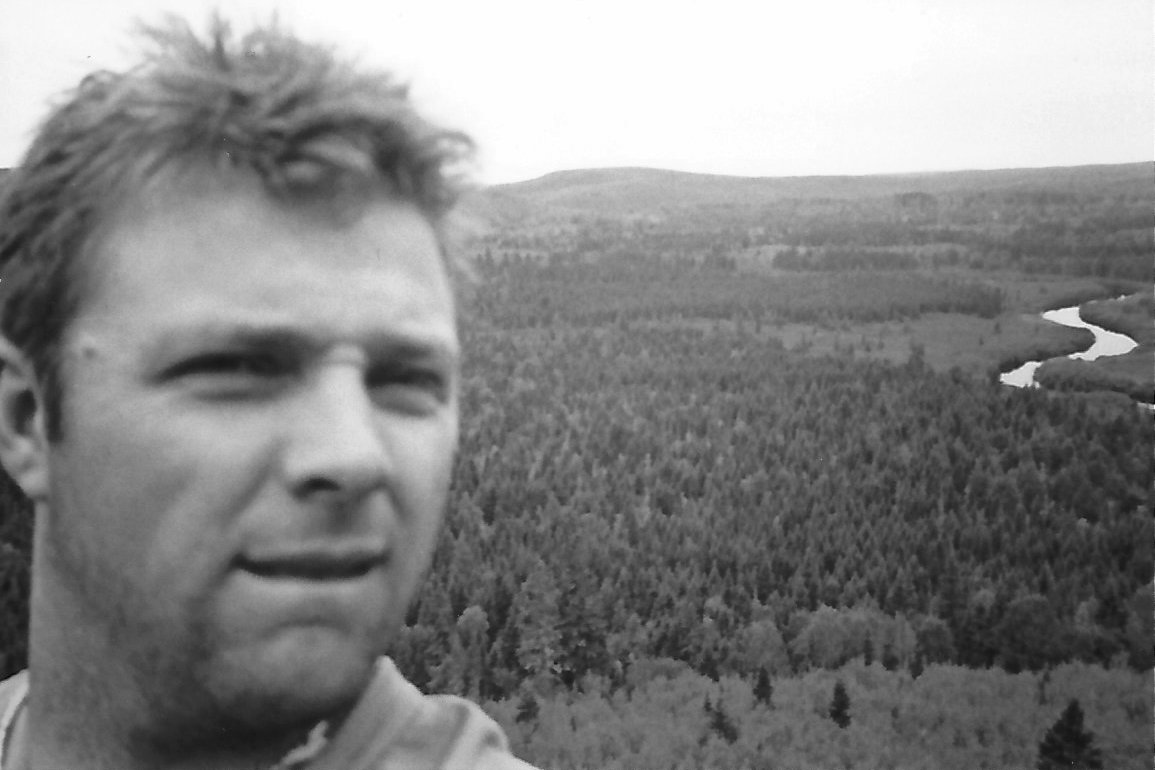
When you’ve hiked over 300 miles of a trail over a 16-year period, and look back years later, a lot of the beautiful scenery mashes together in a single memory, particularly when recalling a part of the trip where only one photo was shot. My best guess was that the selfie below was shot on the first day, overlooking Temperance River, but a comment to this post clarifies that it’s overlooking the Poplar River.
So, although there were many great nature moments along the 35 miles I knocked off in 2001, the memories that will make it into an essay are a broken tent pole, flying mucus, a gal I kept running into over and over again, and a wrong turn that would prematurely end my trip.
My hikes each day were purposefully limited to 6-10 miles because I was targeting specific campsites. I didn’t want to force myself to go longer distances and miss the best places to tent. My third night was spent at Poplar River and my fourth at Onion River. My target for the fifth night was Temperance River State Park, where I could shower, shave and stroll two miles up the highway to Bluefin Grille in Tofte for steak and Guinness Extra Stout. For the most part, things went according to plan.
When I got to Temperance River, it was still fairly early in the day. I cooled my feet in the water, then left my backpack propped up against a tree and hiked around unencumbered, before eventually returning to where the trail reaches the river. I hadn’t seen the hare in a while, and it turns out the tortoise was faring much better. The hiker who had overtaken me so many times on the trail was now in tears as she arrived at the river. Blisters had gotten the best of her. It wasn’t fun anymore.
I hiked with her down the river, noticing each of her steps came with a wince. I then realized I could strap her backpack in reverse to my chest and mule both of our packs toward civilization. This brought her some relief, and we chatted about her hike and her summer job on Isle Royale. I learned her name, but it’s long forgotten now, even though she’s kind of a central character in the trip. When we hit the end of the trail, we parted and never saw each other again. I wouldn’t recognize her today if she jumped out of my backpack.
Things were still basically going according to plan for me until, after setting up camp and showering, I was walking along Highway 61 toward Bluefin and noticed a snowmobile trail paralleled the road.
It seemed like a pretty good idea to take the snowmobile trail instead of having semi-trailer trucks blow by me on the highway. So that’s what I did. Briefly, it worked. Then the trail started to bend slightly away from the highway. I stayed with it. As time went on, however, I began to feel I was getting more and more off course, it was getting darker and darker, and the grass was getting longer and longer. In daylight I would have forged ahead, but not wanting to risk getting lost in the woods, I turned around and backtracked. By the time I made it back to the highway I was exhausted and exasperated, but the promise of meat and beer in Tofte meant I couldn’t just go back to camp, so I marched on and met my reward.
Although my Superior Hiking Trail mileage for the day was only around 10, I put in about 20 overall between overlooks, extra miles at Temperance River and wandering the dark in search of Tofte. As I left Bluefin Grille, I was feeling pretty stiff, but was satisfied from the refueling and had a positive attitude about taking on more trail the next morning.
Almost immediately upon reaching Highway 61 to begin the seemingly short walk back to camp I felt an uncomfortable rubbing of flesh. Chafing! Seriously? Now? I hobbled my way slowly back to the state park and made the call for a ride. Both the tortoise and the hare were done.
“Sixteen Years on the Superior Hiking Trail” Index
Part one: Introduction
Part two: Preparations
Part three: Swamp River to Cascade River
Part four: Cascade River to Temperance River
Part five: Nonchalance
Part six: Temperance River to West Branch Bar in Finland
Part seven: Duluth Sections
Part eight: Finland to Silver Bay
Part nine: Silver Bay to Split Rock State Park
Part ten: Two Harbors Vicinity
Part eleven: Leaves, Needles, Mud
Part twelve: Loss and Lost
Part thirteen: The Double Finish
Part fourteen: Ely’s Peak Loop


Leave a Comment
Only registered members can post a comment , Login / Register Here


2 Comments
Eric Chandler
about 8 years agoPaul Lundgren
about 8 years ago