North Country Trail in Wisconsin: Backtracking
 Seven years ago I began a quest to hike the North Country Trail across Wisconsin. Similar to my 20-year process of completing the Superior Hiking Trail in Minnesota, things are going slowly on the Sconnie side as well. In 2022 I completed just nine miles.
Despite my established reputation for tortoise-like hiking, I was determined to have a big year in 2023. Then I got busy with other things and ended up with exactly zero miles of NCT hiked that year.
I’ve already got one 2024 trek under my boots, but it kind of doesn’t count in terms of mileage. Which is why this chapter is titled “Backtracking.”
My only hike in 2022 began off Highway 53 on Holly Lucius Road, just south of Solon Springs. The previous chapter of my essay series concluded with a mistaken stroll on Highway 53, so I started my next hike by covering the path I should have taken at the end of my hike the year before. It wasn’t really backtracking, because I hadn’t walked this route yet, but it was a pause in my progression since it meant I would be arriving at Lucius Woods County Park for the second time.
For version two of this short stretch I made my march on “Old Highway 53,” the business district route that is basically a small-town city street and is obviously far more enjoyable to hike along than a four-lane expressway. That’s the way I was supposed to go in 2022, and would have if I were paying attention to the map.
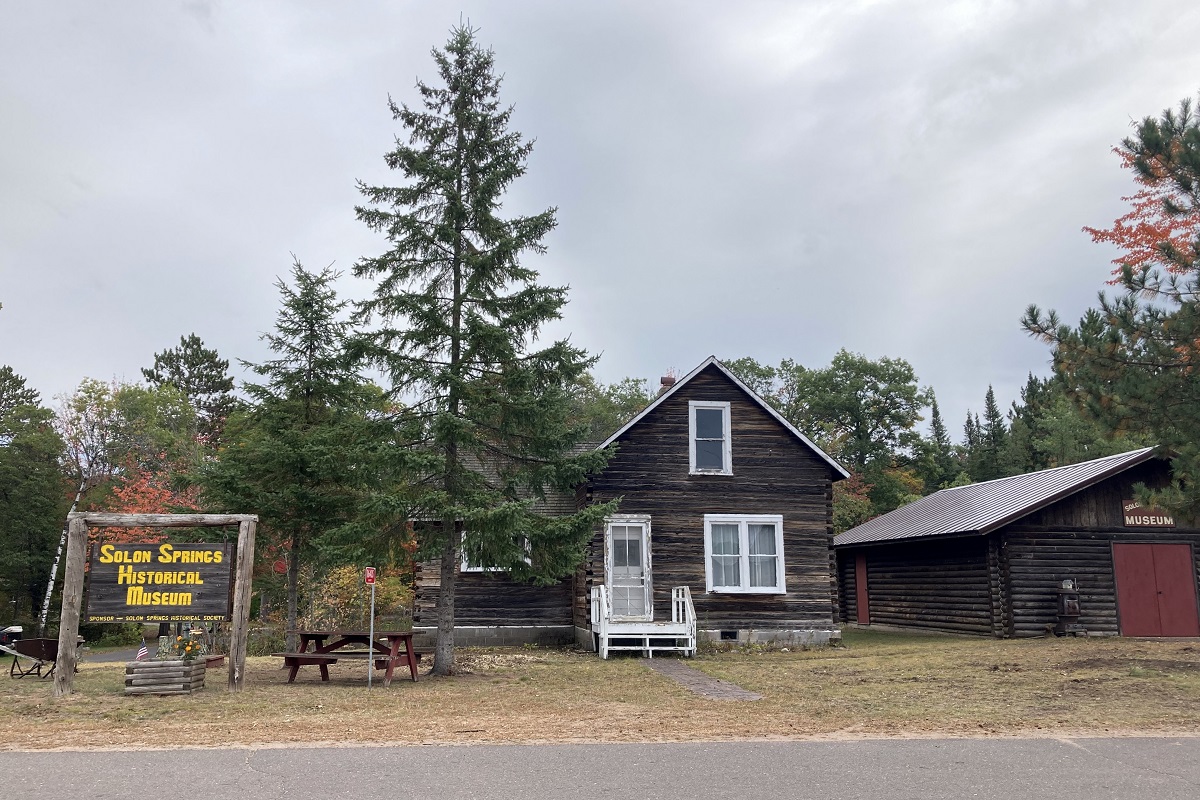
The old 53 stroll features almost no traffic, making it far more favorable than the constant flow of automobiles on the four-lane divided highway. The scenery includes a laundromat, baseball field, community center, numerous homes and the Solon Springs Historical Museum.
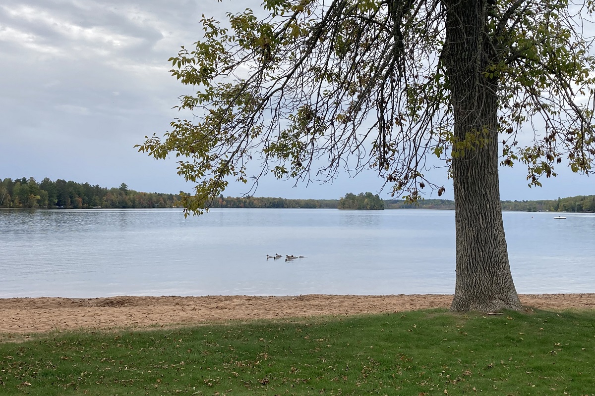
The next half mile rolls through Lucius Woods County Park on Upper St. Croix Lake.
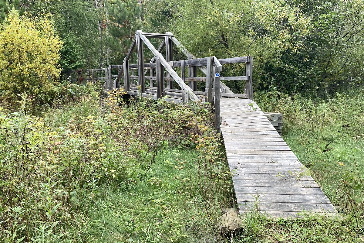
After a half mile through a residential section of Solon Springs, there’s a one-mile section of trail. One of the first points of interest on that section is the Fish Ladder Bridge.
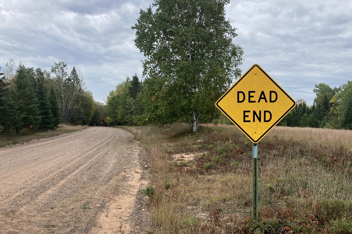
The route turns into a gravel highway for about 2.5 miles before the trail resumes. This is a significant point in the overall journey because although the trail has had numerous missing links that involve road hiking, there are very few interruptions moving eastward from this point on. That means my best hikes are yet to come, and I’ll be in the woods the majority of the way to the Michigan border.
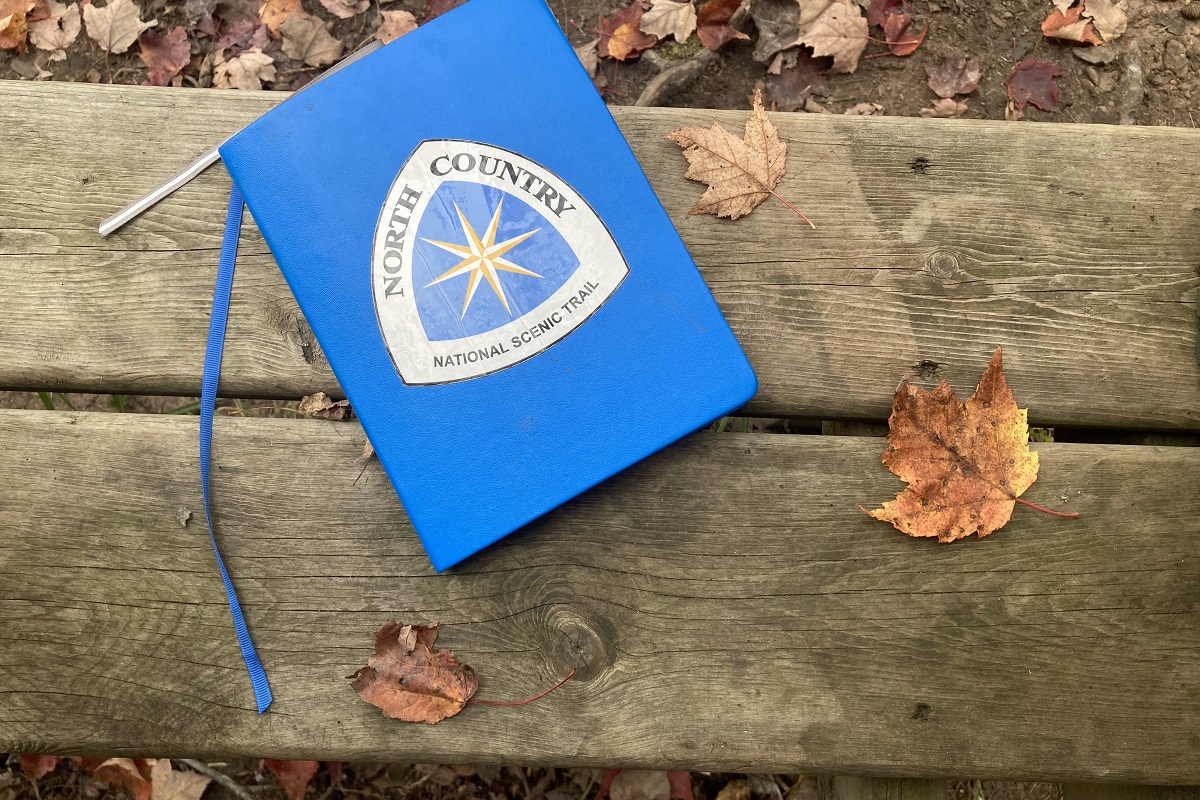
At the Catlin Creek Campsite I stopped to read some of the entries in the trail logbook.
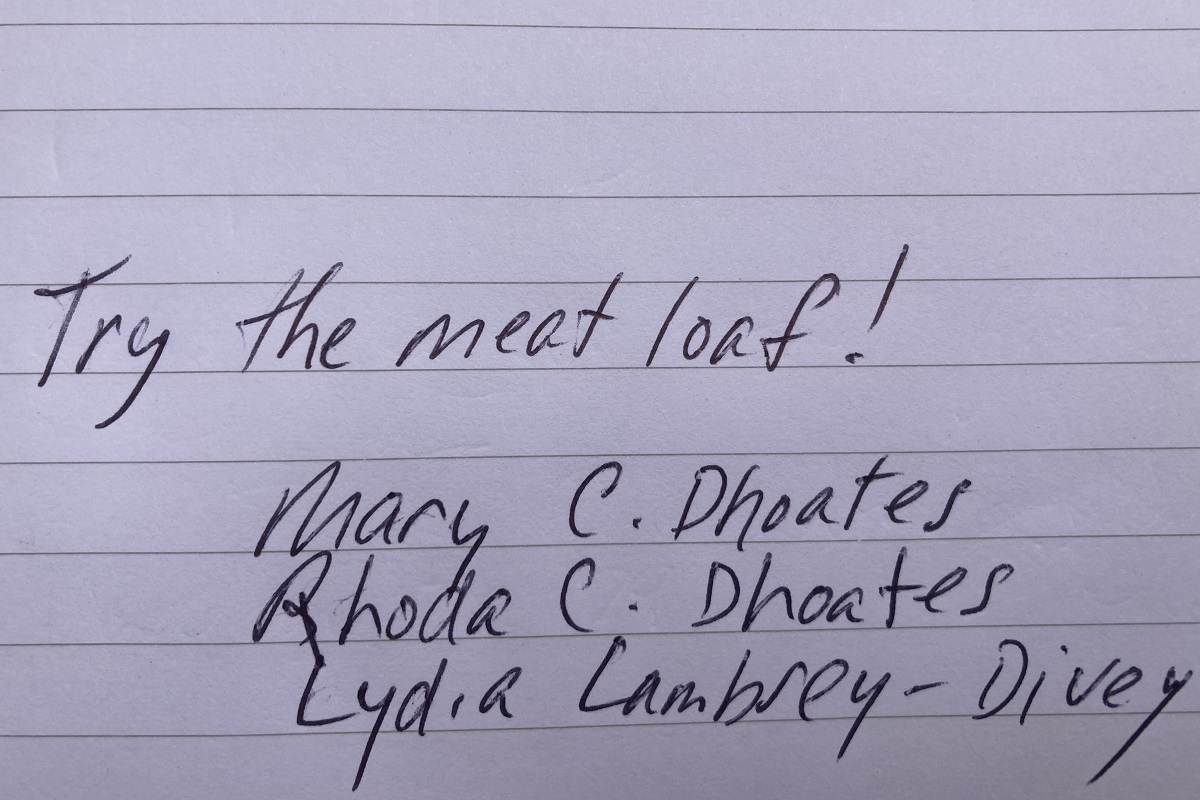
Most people fill these books with inane mentions of what a nice day it was on their hike, but a recent entry was from three ladies who recommend the local ground-beef offerings.
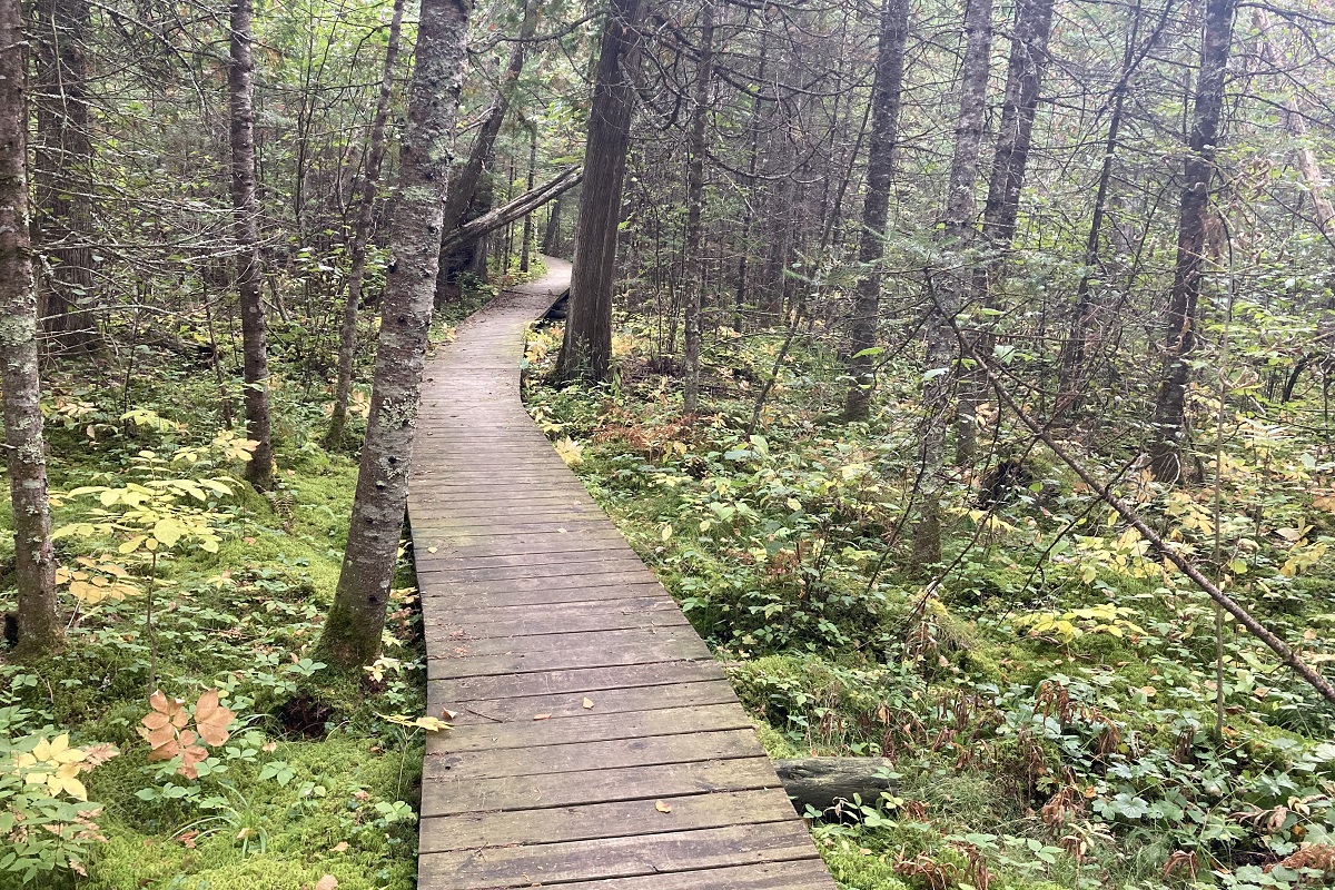
One of the best things about well-constructed trails is that they seldom involve stomping through soggy bogs. The Brule Bog Boardwalk is a classic example of the hard work trail volunteers put in to keep our feet dry.
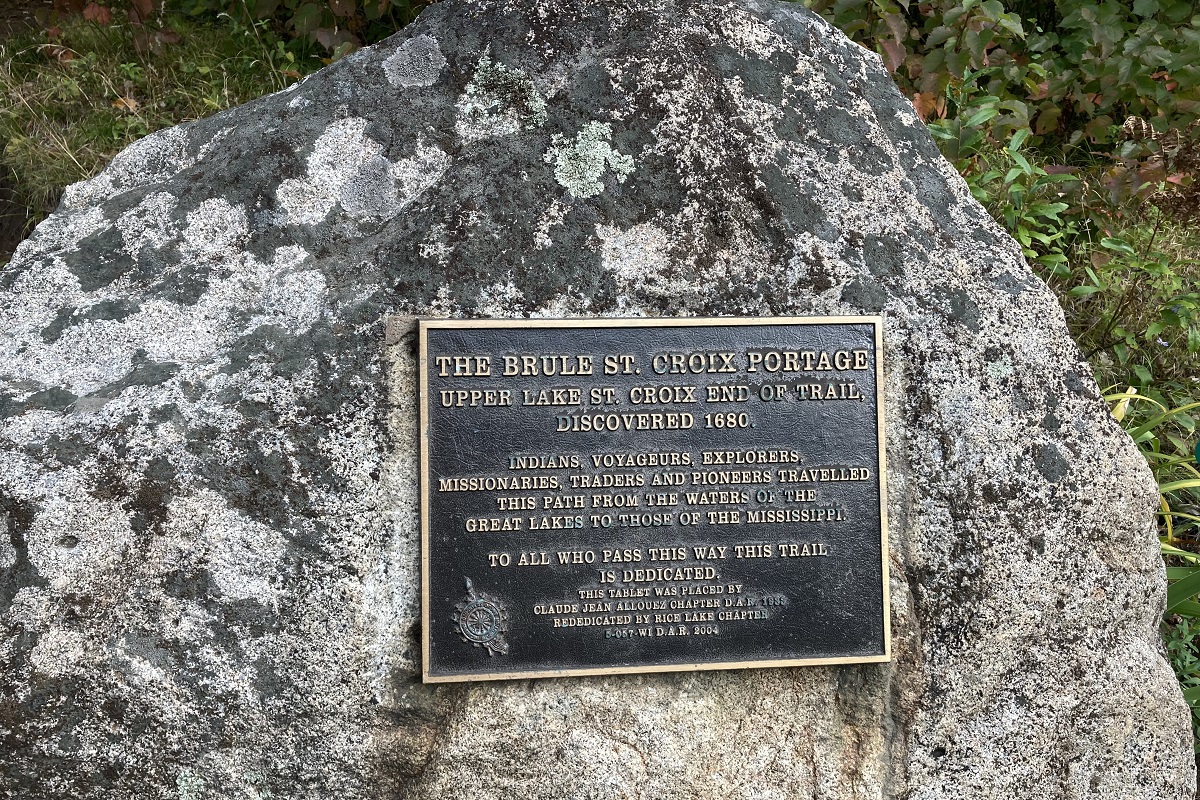
My hike ended at the Brule St. Croix Portage Stone. I don’t want to brag about it, but if you read the plaque closely you’ll see that the trail is dedicated to me.
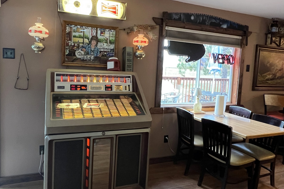
It’s important to end as many hikes as possible at a highway-side bar; hopefully one with a good jukebox. In Wisconsin, they are as easy to find as gas stations.
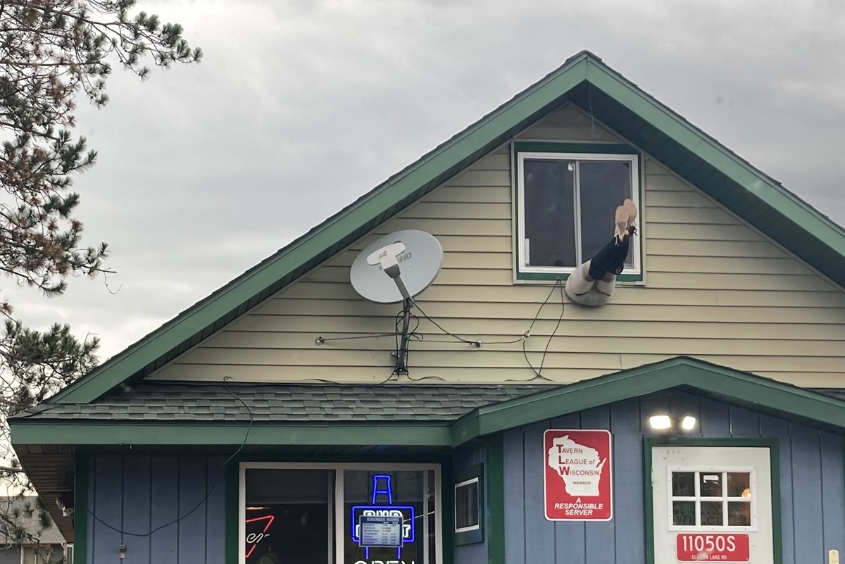
You can sometimes tell from the outside if it’s a good bar because the ass end of a mannequin will be popping out of the siding.
In March 2024 I read about a group hike planned by the Superior-St. Croix-Brule Hikers on a new section of trail built last summer in an area I had already passed through using the old road route. This would end up being my next “backtrack,” checking out the new path at the Minnesota border.
The hike was planned as a snowshoeing event, but when I read about it there was no snow on the ground at all. Then, at the end of March, blizzard conditions hit the area during the week leading up to the hike, followed by two warm days of melting snow. I tossed snowshoes in the trunk, but figured I probably wouldn’t need them.
There are people who love to snowshoe, but I prefer not snowshoeing whenever possible. If there is deep snow, snowshoeing is absolutely the best way to get around. If the snow isn’t deep, the big shoes just slow you down and make a bunch of noise. They also tend to have issues that require stopping for adjustments.
The best case scenario, of course, is to have people on snowshoes walking in front of you while you stroll along in their footprints with your comfortable footwear. And that’s the method I chose.
The group met at the State Line Trailhead on County Road 4 in Wrenshall. A little morning adversity made me 10 minutes late, so I pulled into the lot just as everyone was disappearing into the woods. Then I spent another five minutes maneuvering my car in the unplowed, almost-full lot to make sure I wasn’t blocking anyone in or burying my tires.
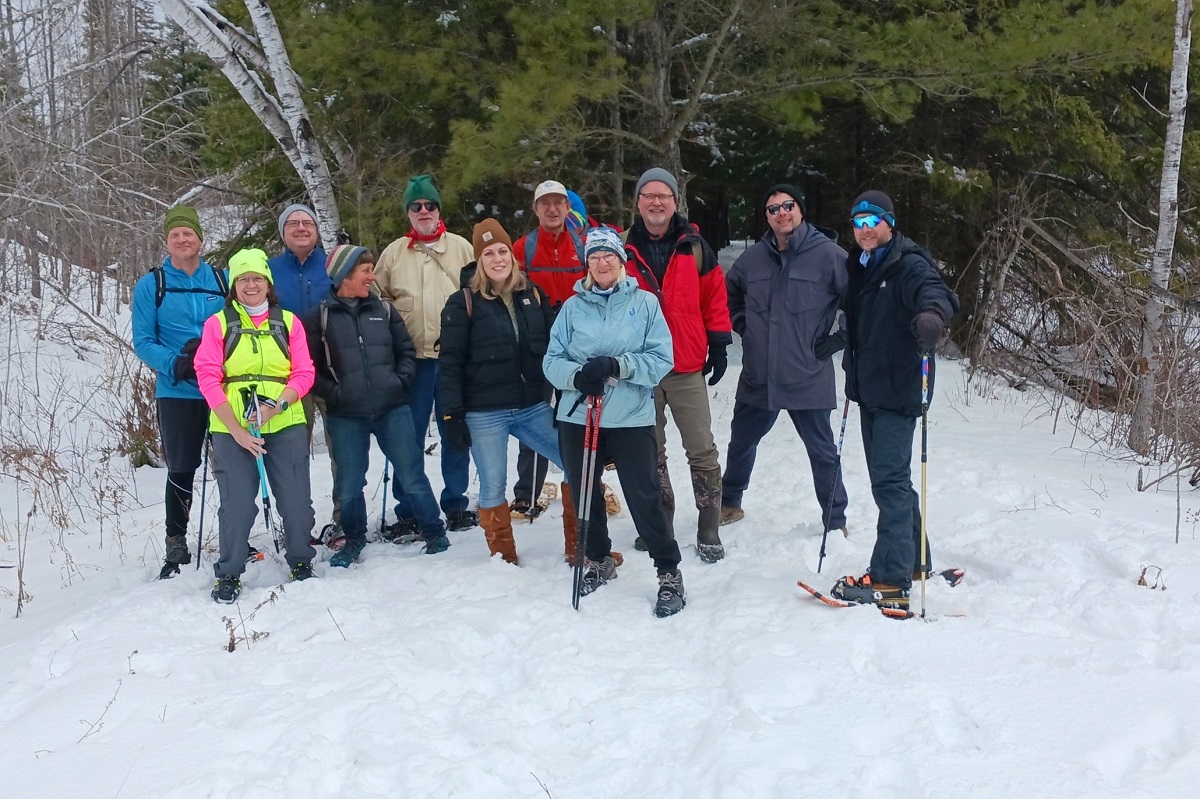
Still, it didn’t take long to catch up to the other hikers, just in time for the group photo.
The hike follows the historic Loop Line Grade through the woods into Wisconsin. We stopped about two miles in at the Clear Creek Campsite and turned back, but the path continues to the MacQuarrie Wetlands, so I’ll have to return yet again to tackle the full extent of it.
The hike leader was Peter Nordgren, a founding member of the Brule-St. Croix Chapter of the North Country Trail Association. Throughout the hike, Peter and a fellow volunteer offered insight into their work building the trail. Peter wrote a comment on my first North Country Trail essay in 2017, providing some helpful information, so I was glad to meet him in person seven years later.
Of course, one thing about this event made me nervous. At some point the kind volunteers who build and preserve the trail would have to try to recruit me into the cult, right? And I’m vulnerable to such persuasion. If I’m going to spend so much time on these trails, it’s only fair that I give back in some way and volunteer to help expand and maintain them. Of course, I don’t believe in fairness and just want to skate on easy street, so I knew I was putting myself at risk by interacting with upstanding humans who do things to benefit society.
Fortunately, they were easy on me. The offer came up once, I declined, and they let it go without twisting my arm.
Hey, I’m already the slowest hiker on record; if I stop to do work I’ll never make it out of Douglas County.
North Country Trail in Wisconsin Index
Part 1: Wood Tick Flats
Part 2: Nemadji River Valley
Part 3: Crossing the Border
Part 4: Town of Summit
Part 5: Green Undies in Gordon
Part 6: Backtracking
Part 7: Returning to the Border
Part 8: Brule-St. Croix Portage
I’m looking forward to checking out some of the trail you’ve described. A couple of years ago my nephew through-hiked from Jay Cooke state park all the way to Traverse City MI. About 500 miles in 6 weeks. One bit of caution, though: If you’re “moving westward” you won’t be getting to Michigan anytime soon.
Thanks for pointing me in the proper direction. I do tend to wander.
Paul, thanks for joining us on the hike. I really enjoyed our conversation, and our shared UW-Superior memories. You’re always welcome to hike with the Brule-St. Croix Chapter, and we promise not to force trail tools into your hands … unless you find yourself wanting to give it a try.