

Matthew James
PDD Geoguessr #33: Walking Shortcuts

This Duluth avenue is unlikely to be open to car traffic any time soon. (Photo by Matthew James)
Over the past 100 years, the increase in car use has changed the Duluth landscape. Downtown has fewer shoppers walking the streets and traffic is heavy on the roads to the big box stores at the top of the hill. Whole neighborhoods have been torn down to make room for highways. But the particular geography of Duluth has resulted in a number of urban routes open only to people walking (and, for some, also biking). This post takes a closer look at a few of those locations and concludes with a Geoguessr game testing your knowledge of travel routes in Duluth closed to cars. (more…)
PDD Geoguessr #32: The 1984 Duluth City Directory

The 1984 Duluth City Directory (Photo by Matthew James)
As 2024 comes to a close, this post takes a look at Duluth 40 years ago using the 1984 Polk Directory of Duluth as an example for examining the history and use of city directories. This post includes ads from the directory for five businesses that have since left Duluth and five that still remain. It then concludes with two Geogeussr challenges featuring the historical locations of these ten businesses. (more…)
PDD Geoguessr #31: Gridlock

An intersection of grids along North Central Avenue near Denfeld (image from Google Earth)
Duluth formed from the merger of multiple smaller townships, with these townships themselves comprised of multiple different housing additions. These additions were almost always laid out on a grid, but the orientation of that grid was often effected by the often challenging elements of Duluth’s geography, such as rivers, streams, hills, and Lake Superior, as well as the existence of other grids. In the early days of Duluth, the different grid systems had gaps between them, but as the city grew, the gaps closed, resulting in some novel intersections and street patterns. This Geoguessr looks at the conflict between different grid systems in Duluth. (more…)
PDD Geoguessr #30: Minnesota and the Presidential Election

Minnesota 2024 presidential election results by county.
Minnesota’s electoral college votes have gone to the Democrats since 1976, longer than any other state. But unlike Washington D.C., which went 90% for Harris and has given its three electoral votes to the Democrats since 1964 (but is not a state), Minnesota’s politics are a bit more complicated. In its most simplistic form, the strongly left-leaning Twin Cities metro area counters the right-leaning Greater Minnesota population, with a few urban areas creating pockets of blue. But that’s the simplistic version. This post looks at the Minnesota results at the precinct level and includes three Greater Minnesota Geoguessr challenges. One visiting the precincts where Trump had the highest margins of victory, another for the precincts that went most strongly to Harris, and a third for precincts split right down the middle. (more…)
PDD Geoguessr #29: Lake Superior Lighthouses

The Duluth North Pier Lighthouse (Photo by Matthew James)
On Nov. 10, 1975 — 49 years ago next week — the SS Edmund Fitzgerald sank in a Lake Superior Storm, killing all 29 crew members on board. As noted in Gordon Lightfoot’s ballad, “The Wreck of the Edmond Fitzgerald,” the ship sank during a November gale, a Great Lakes weather event in which Artic air from the north collides with Gulf air from the south, creating hurricane-level winds. With the Lake Superior Marine Museum’s Gales of November event approaching, this post takes a look at the lighthouses that historically guided Great Lakes ships to safety during these storms. It concludes with a Geoguessr that includes Lake Superior lighthouses in Minnesota, Wisconsin, Michigan, and Ontario. (more…)
Is this man still in Duluth?

Yesterday my uncle was in Cafe Coco in Washburn, Wisconsin, and saw this poster on the wall. If I had to guess, I would say the person shown is a founding member of Colder by the Lake Comedy Theater. But does somebody know for sure?
PDD Geoguessr #28: Haunted Duluth

When I developed the image, two specters became visible behind me (Photo by David James with Photoshop Generative Fill)
With Halloween approaching, this post takes a close look at the tales of hauntings around Duluth, presenting a classification system for the four different types of haunted Duluth locations. It concludes with a Geoguessr challenge made up of five spooky Duluth photospheres. (more…)
PDD Geoguessr #27: Duluth’s Former Telephone Exchanges

Photo of the Hemlock Exchange in 1920 by Hugh McKenzie. (Photo from the Northeast Minnesota Collections of the Kathryn A. Martin Library)
A year after Alexander Graham Bell invented the telephone, George W. Coy set up the first telephone exchange. Making a call to a specific phone required plugging the right cord into the right socket, and that required a person working out of an exchange building. Photos from the Minnesota Digital Library show the Duluth neighborhood exchanges that were operated by the Northwestern Bell Telephone Company in 1920. This post discusses the role of telephone exchanges as a source of employment for women in Duluth with a Geoguessr challenge that reveals what those telephone exchanges look like now. (more…)
PDD Geoguessr #26: Duluth City Limits

Arriving in Duluth (Photo by Matthew James)
“Twenty-six miles long and an average of 2-1/2 miles wide, Duluth is squeezed between rocky bluffs and the waterfront of Lake Superior and the St. Louis River,” a National Geographic reporter wrote when describing the city in 1949. This post describes some of the stranger contours of our long and narrow city with a Geoguessr challenge at the end to test your knowledge of the city limits. (more…)
PDD Geoguessr #25: Duluth Creeks

The lower falls of Chester Creek. (Photo by Matthew James)
Forty-two named streams run through the Duluth metropolitan area, from Mission Creek in West Duluth to the Lester River on the eastern edge of the city. This Geoguessr challenge looks at photospheres from five of the creeks within the Duluth Urban Watershed. (more…)
PDD Geoguessr #24: Indigenous Land

A gas station on the Fond du Lac Reservation (Photo by Matthew James)
In 2019, the University of Minnesota Duluth became the first in the University of Minnesota system to adopt a land acknowledgment, a formal statement recognizing that UMD “is located on the traditional, ancestral, and contemporary lands of Indigenous people.” The land acknowledgement references the 1854 treaty in which representatives of the Anishinaabe ceded some of their land to settlement (while retaining certain rights on that land) and came to an agreement about which areas would be governed under tribal sovereignty. This Geoguessr challenge briefly examines the significance of the 1854 treaty and includes significant sites from reservations throughout Northern Minnesota. (more…)
The 350th Anniversary of the Battle of Seneffe

A monument to the battle at the Castle of Seneffe. (Photo by Matthew James)
Three hundred and fifty years ago, Daniel Greysolon Sieur du Luth first met Father Louis Hennepin in the aftermath of the Battle of Seneffe. While this battle is often listed as a footnote in the history of French colonialism in Minnesota, it was one of the most significant battles of the Franco-Dutch War. On Aug. 11, 1674, French troops fought in southern Belgium against an allied army of Dutch, German and Spanish soldiers. The battle shaped European history and the meeting of Du Luth and Hennepin at the site of that battle led to a story that, while almost certainly false, endures as one the foundational tales of Minnesota history. (more…)
PDD Geoguessr #23: World Cities and Their Northern Minnesota Namesakes

The city center of Groningen, The Netherlands, not to be confused with Groningen Township, 70 miles south of Duluth (Photo by Matthew James)
There’s a lot of Minnesota history to be found in the names on a map. Some places, like Iron Junction, reflect the industry that created the town. Many names come from Anishinaabemowin, like Mahnomen, derived from manoomin, meaning wild rice. And some city names both reflect their primary industry and come from Anishinaabemowin, like Biwabik, which comes from the Ojibwe word for iron. This Geoguessr challenge looks specifically at places in Minnesota that took their names from locations from around the world. (more…)
PDD Geoguessr #22: Signs of the Past

No gas of any sort, leaded or otherwise, is to be found here. (Photo by Matthew James)
Some small part of the business history of Duluth remains written in the landscape. Names painted on the sides of buildings and logos atop poles on the edges of vacant lots promote businesses that saw their last customer some years ago. (more…)

PDD Geoguessr #20: Twin Ports Area Beaches

Park Point in the summer. (Photo by Matthew James)
With the official start of summer upon us, any upcoming day has at least the potential of becoming a beach day. But where to go? Park Point is always an option but are there more interesting alternatives? (more…)
100 Years of Intercity Highway, or Highway 61 Revisited

Highway 1 monument at 66th Avenue West and Westgate Boulevard. (Photos by David James)
A monument a couple blocks north of I-35 in the front yard of a quiet residential neighborhood commemorates the upcoming opening of Minnesota Trunk Highway No. 1. It was erected on June 13, 1924, 100 years ago today. A recent post on this site featured a photo describing a campground along this Highway, which led to a brief discussion of just what this Highway 1 was and what became of it. (more…)
PDD Geoguessr Challenge #19: Sister Cities Smörgåsbord

Duluth’s sister cities
Five of the previous six Geoguessr challenges have looked one by one at Duluth’s sister cities: Ohara Isumi, Japan; Rania, Iraqi-Kurdistan; Växjö, Sweden; Petrozavodsk, Russia; and Thunder Bay, Canada. As a Geoguessr game has five rounds, it only makes sense to conclude the series with a challenge that includes all five cities. (more…)
The Final Resting Place of Private John Matthew McGillis

Left: Private John Matthew McGillis, photo courtesy of Jasper van Kampen. Right: His burial place (Photo by Matthew James)
John Matthew McGillis, known to his family on Duluth’s Park Point as Jack, died on Christmas Day 1944, one day before the end of major fighting in the final German offensive of World War II. He wasn’t a combat soldier. (more…)
PDD Geoguessr Challenge #18: Duluth’s Sister Cities – Thunder Bay, Canada

Thunder Bay, Canada. Photo based on an interpretation of aerial imagery by Microsoft Flight Simulator.
The last of the sister cities in this series is the first. Thunder Bay was the original sister city of Duluth, a relationship that formally began in 1980. While the Twin Ports is the largest metropolitan area on Lake Superior, Thunder Bay is the largest city, with a population of 110,000. (more…)
PDD Geoguessr Challenge #17: Duluth’s Sister Cities – Petrozavodsk, Russia
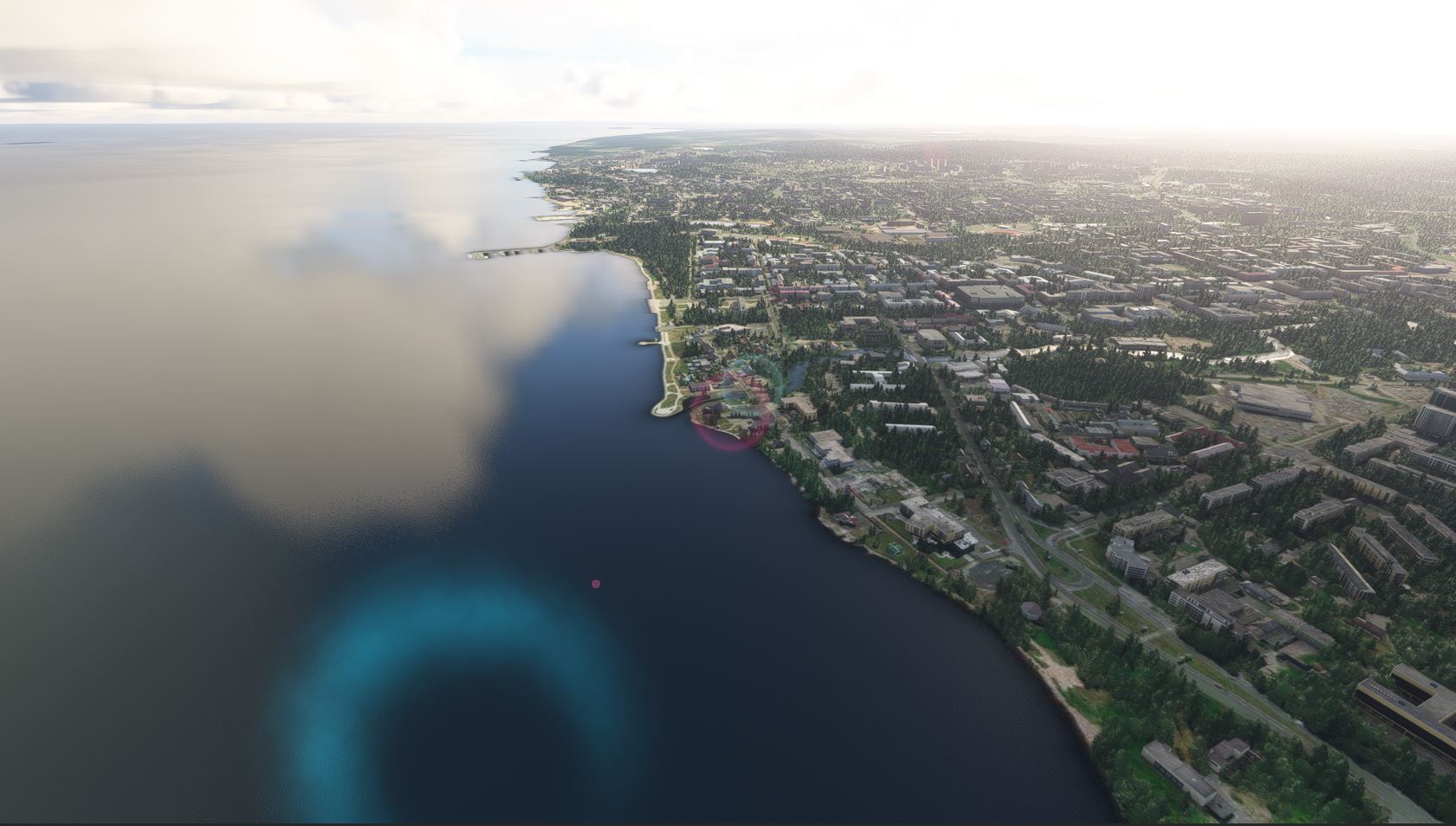
Petrozavodsk, Russia. Photo based on an interpretation of aerial imagery by Microsoft Flight Simulator.
Petrozavodsk, Russia became a sister city of Duluth in 1987. With a population of 250,000, its Duluth’s largest sister city. Petrozavodsk is the capitol of the Republic of Karelia and located on the western shore of Lake Onega. Like Duluth, Petrozavodsk has a lakewalk that features art from its sister cities. In 1991, artist Rafael Consuegra won a national competition to represent Duluth in a sister cities sculpture exchange with Petrozavodsk. Below is a picture of his sculpture, The Fisherman, that I took with a disposable camera during my brief visit to the city nearly 20 years ago. (more…)
PDD Geoguessr Challenge #16: Homegrown 2024 Venues
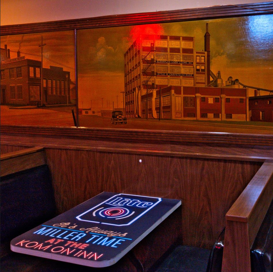
Homegrown Music Festival starts next week with acts performing in venues across Duluth and Superior. You can read a detailed history of the festival on its website. And you can test your knowledge of this year’s festival by taking the PDD Quiz. And here you can test your knowledge of this year’s Homegrown venues by playing one of this week’s three Geoguessr challenges. (more…)
PDD Geoguessr Challenge #15: Duluth’s Sister Cities – Växjö, Sweden
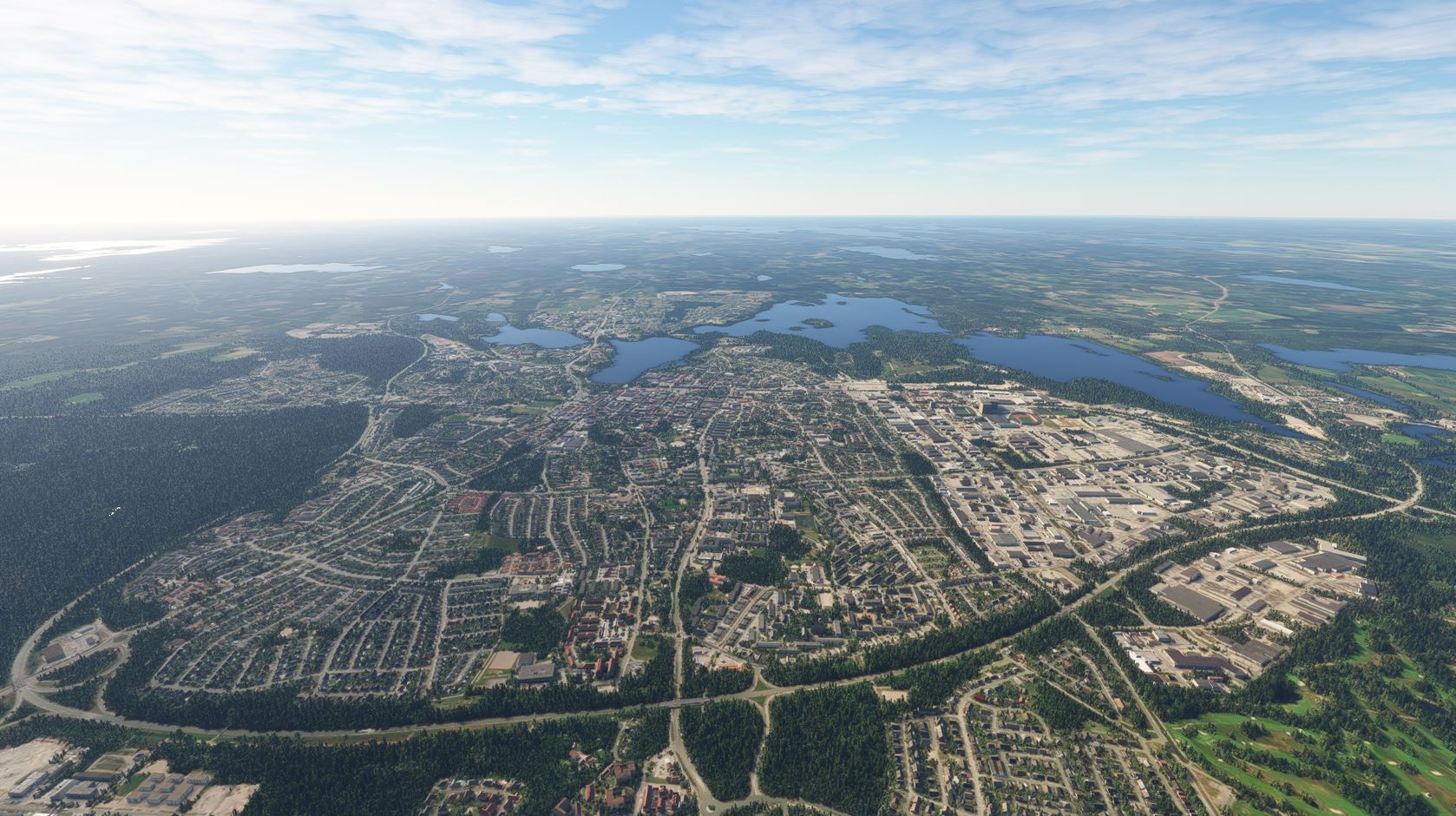
Växjö, Sweden. Photo based on an interpretation of aerial imagery by Microsoft Flight Simulator.
Växjö – pronounced Vequa according to the YouTube videos I watched — has been Duluth’s sister city since 1987. With a population of 80,000, it’s approximately the size of Duluth. Also like Duluth, it has a significant student population, with Linnaeus University just outside the city center. In 1991, Växjö became the first city in the world to set a goal of becoming fossil fuel-free. In 2007, it won the Sustainable Energy Europe Award for being the greenest community in the EU. (more…)
PDD Geoguessr Challenge #14: Duluth’s Sister Cities – Rania, Iraqi-Kurdistan
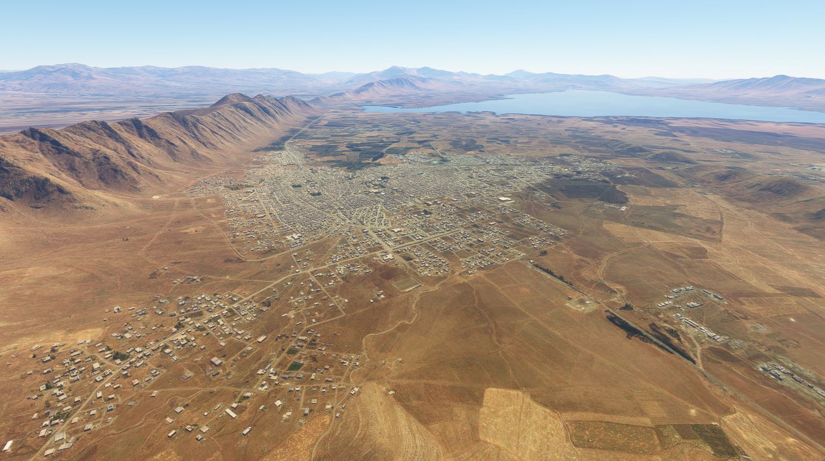
Rania, Iraqi-Kurdistan. Photo based on an interpretation of aerial imagery by Microsoft Flight Simulator.
The next of Duluth’s sister cities in this challenge series is its most recent. Rania officially became Duluth’s fifth sister in November 2015. According to the webpage on Duluth’s sister cities, Rania is located in a partially autonomous Kurdish region in Northern Iraq near Lake Dukan. With a population of 95,000, it is about the same size as Duluth. Exchange activities have included a visiting professor from Rania at the University of Minnesota Duluth and a visit to Rania by a Duluth choir group. (more…)
PDD Geoguessr Challenge #13: Duluth’s Sister Cities – Ohara Isumi, Japan
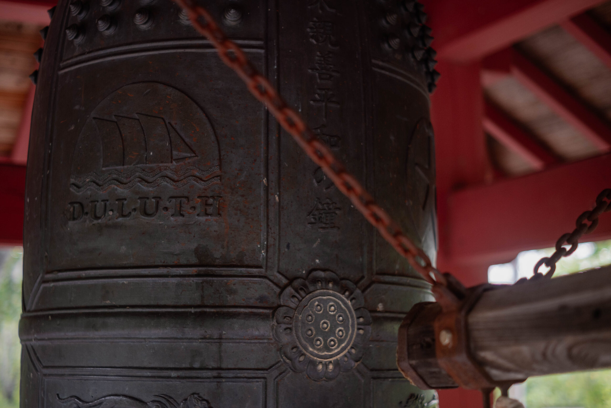
The bell given to Duluth by Ohara. Photo by Matthew James.
Duluth has five sister cities. The next five Geoguessr challenges will take a look at them one by one. The first one in this mini-series has what I consider to be the most interesting story: Ohara, Japan. (more…)