Curiosity: Mysteries Near Boy Scout Landing
I have a curiosity about the history of our town and the surrounding area, and PDD has been a great source for finding answers and discovering new things. I hope someone can solve these mini mysteries, (at least they’re a mystery to me).
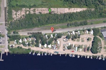
Out by Boy Scout Landing, there is this wedge-shaped foundation, (Search Google Maps for: 46.654688, -92.224903). It looks as if it was some sort of industry long since gone.
Here are 1940s and 1950s aerial photos of the area, clearly showing some sort of building(s), cars parked nearby, the railroad servicing it. Does anyone know what they did, when it was shut down, torn down, etc.?
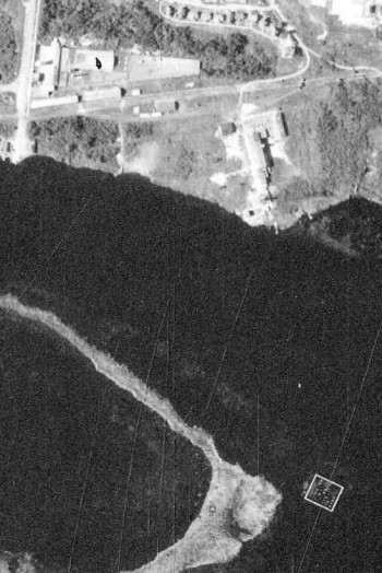
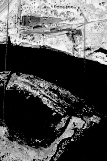
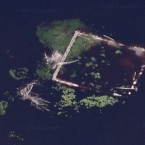 Also, as seen in the 1940s and ’50s photos, (and still seen today), what is that square foundation in the river just across from this area? Just what on earth was that?
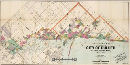
Bonus: I partially solved this one. I spotted these pilings in the river as well, and wondered what the heck they were. Sometime later, thanks to a link from here, (I’m pretty sure it was from here), of Albertson’s Map of the City of Duluth, St. Louis County, Minn., and Vicinity, circa 1891, I found it had been a railroad bridge that predates the Oliver Bridge crossing. It also looks like there were plans for that area that never came to be. I’d love to see photos of that bridge.
Recommended Links:
Leave a Comment
Only registered members can post a comment , Login / Register Here




6 Comments
Tony D.
about 11 years agoburnettd
about 11 years agoTony D.
about 11 years agoDorkus
about 11 years agoDECk37
about 11 years agoToneCoughlin
about 11 years ago