Duluth photos repaired and colorized: 19th century people/places
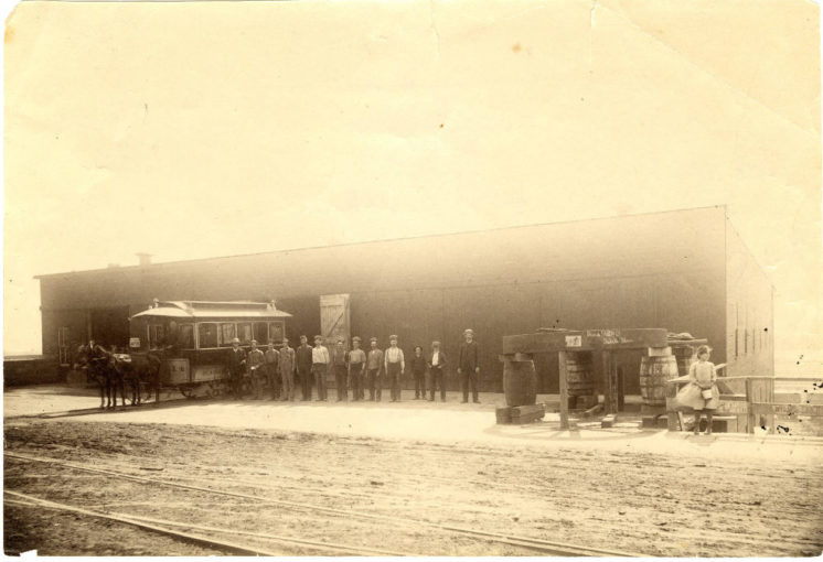
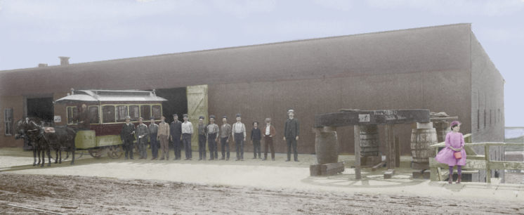
Streetcar Barn (1882)
Superior Street and 11th Avenue West
All of the photos here come from the University of Minnesota Duluth, Kathryn A. Martin Library through the Minnesota Reflections website. While most of the pictures on the site have been well preserved, some have been damaged over the years. For six of these photographs, I digitally repaired any damage and then added color.
I tried to make reasonable choices for the colors, but in most instances, I have no way of knowing how things actually appeared at the time, and sometimes chose colors that would draw attention to interesting details. And occasionally, when certain elements seemed like they must be present but weren’t really visible (like overhead wires or the water of Lake Superior in the distance), I just made it up and colored it in where it seemed like it should be. All of which I include just to be honest about the end results reflecting a certain degree of artistic liberty.
All of the photos were taken between 1882 and 1900 and all feature people enjoying a moment outside in Duluth.
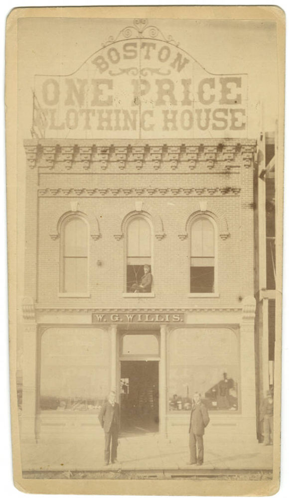
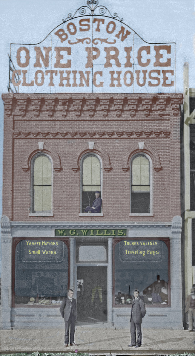
W. G. Willis Block (c. 1882)
219 W. Superior St.
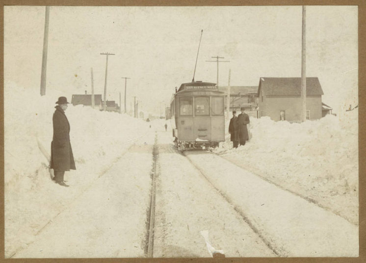
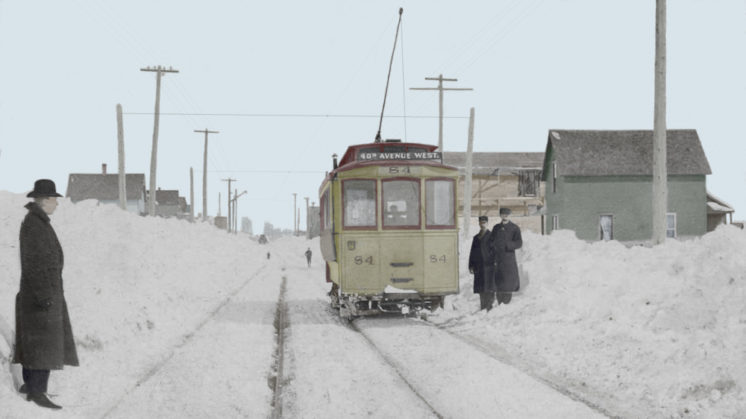
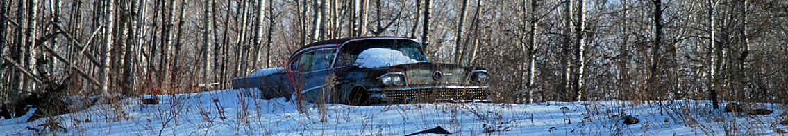
Electric Streetcar in Winter (c. 1890)
Terminus at 40th Avenue West
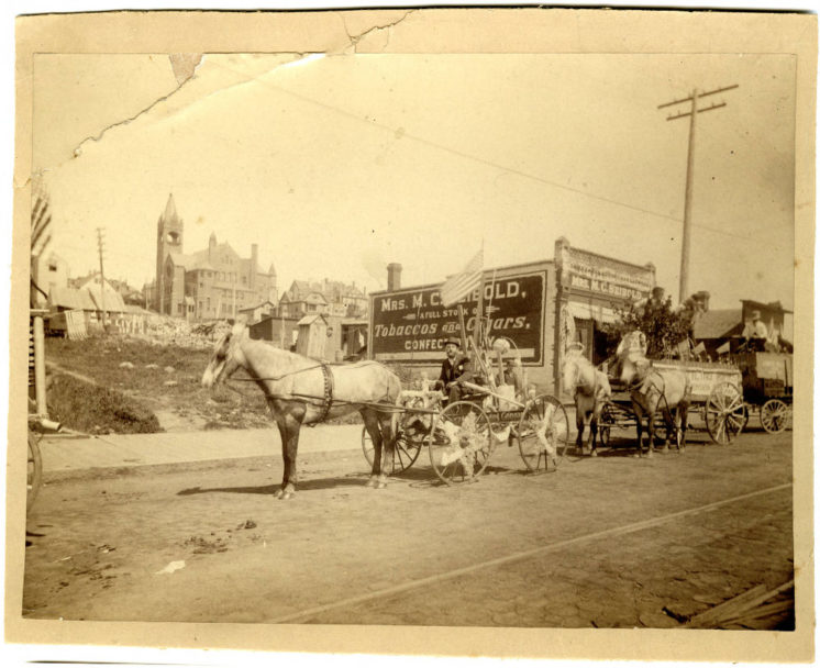
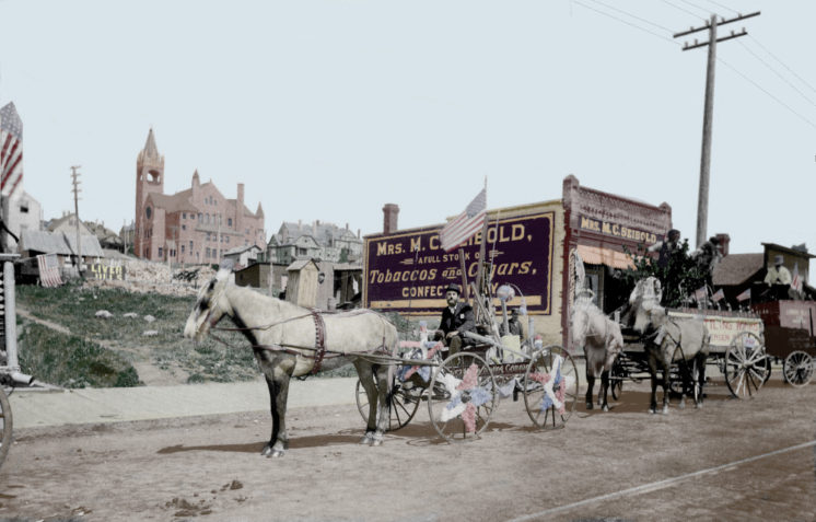
Mrs. M.C. Seibold Tobaccos and Cigars (1891)
225 E. Superior St.
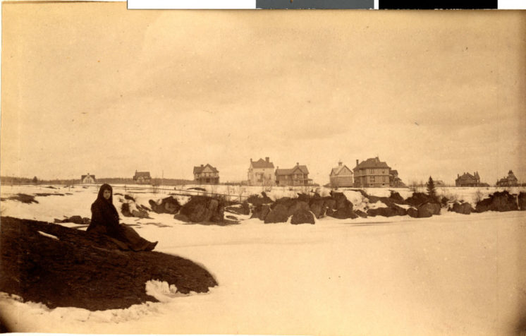
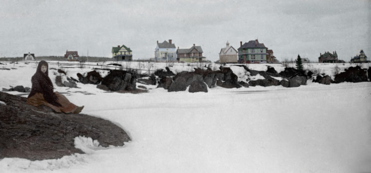
Lakeside Lester Park, woman on rock (1891)
Near 42nd Avenue East
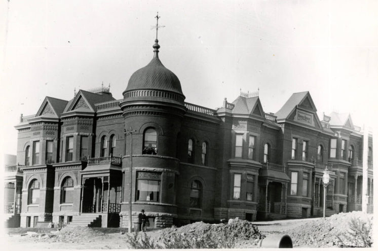
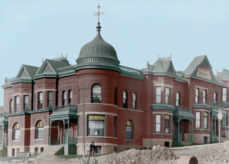
Pastoret Terrace (c. 1900)
127-129 E. First St. (Known since 1960 as the Kozy Bar and Apartments)
Awesome! It would be cool to get a shot of Lakeside today to compare. I wonder how many of the big houses are still around in that photo?
The photo meta-data says near 42nd Avenue East but I couldn’t figure out where she is actually sitting, even with those very distinct houses behind her. And even if the houses are gone, the rock should still be there, but I couldn’t match that either. I think the first step in figuring out if any of those houses around her are still there is to figure out where exactly she is.
Using the maps available at St. Louis County Land Explorer, you can find the rocks in the satellite view. Hit on the box with the 4 white boxes in it for more views.
Thanks – that’s an interesting site. Looking around the area, I could only find one house still standing from 1891 and it didn’t match any of those in the photo. I’ll have to get a copy of Tony Dierckins’ and Maryanne Norton’s book Duluth’s Grand Old Architecture. Those houses look fancy enough that there might be a match somewhere in there.
Thank you for an interesting site. I’m from Norway, and my great-grandfather lived in Duluth between 1892 and 1902. He was registered as a photographer. I do not know if he took photos on behalf of others or sold them. If any local historians know anything about his whereabouts, I would appreciate it. His name was Markus Andreas Linchausen (Lindkausen), born in 1865. It would be interesting to find out more. Email: [email protected]
Regards,
Rune A. Harden