Zooming in on Duluth with Google Maps Street View Expansion
As Perfect Duluth Day and others noted earlier this year, Google Maps Street View arrived in Duluth with a brief run-through. [See the original PDD piece.]
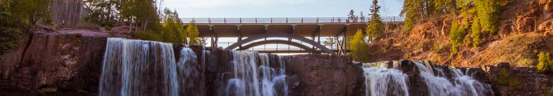
Now however, Google has taken Street View to a major portion of Duluth and surrounding areas, and I write about it with a number of example photos including the Kozy Bar at my personal Web site:
https://www.truthisapathlessland.com/
Best Regards,
Lane R. Ellis
Hey Lane, love the pics, thanks for sharing!
So the international pressure of making sure your house looks good/yard is mowed has just increased a thousandfold. LOL…
Cool! Even though I’m eight hours away, I just took a “drive” through Jay Cooke State Park. Even with the limits of the technology, the view of the rapids just below the Thomson reservoir from the bridge are impressive. Thanks!
Curious–the pics of my house in Lakeside were taken last fall.
I saw the Google-mobile drive down Superior Street a couple years ago, as I was standing on the corner at 4th W. I was hoping to be immortalized in a Google Street View photo, but I’m not.
Google Earth is pretty cool. We used it to pick one vacation rental over another when we went to Maine. We could see one of the places we were looking at was right next to a junkyard.