

North Country Trail in Wisconsin: Brule-St. Croix Portage
 There are hiking trails and there are historic hiking trails. The Brule-St. Croix Portage section of the North Country Trail in the Town of Solon Springs is peppered with historical markers in the form of eight stones with plaques bearing the names of explorers to the region. Most of them are easy to find; a couple of them are not.
Though there are eight stones, the digital map of the trail on northcountrytrail.org seems to show only seven, and if you aren’t careful looking at your map you could see fewer than that, depending on how collapsed your screen might be.
A brochure map of the Historic Portage Trail and Brule Bog Boardwalk also shows only seven stones, but provides descriptions of all eight “portage trail travelers.” Both maps fail to mark the George Stuntz Stone, perhaps because it had been lost for awhile.
For my part, at the start of my fall 2025 hike, I didn’t really know what I was getting into with regard to the significance of the stones. I saw them on the map and figured they would explain themselves. But they don’t. They are just stones with names and years on them. There is enough explanation, however, on plaques at either end of the portage to get at least the vague sense that the stones recognize non-native explorers who traversed the area in the 17th, 18th and 19th centuries.
So this installment of my North Country Trail series mostly offers a very brief version of the trail’s history according to how I blundered into it and what I read about it later.
On the trail, the stones are in chronological order with the events they represent, but only for hikers moving northeast to southwest on the trail. I hiked southwest to northeast, beginning at the St. Croix Lake Trailhead, so in this narrative the stones are in reverse chronological order, except for when I get distracted and miss a couple stones.
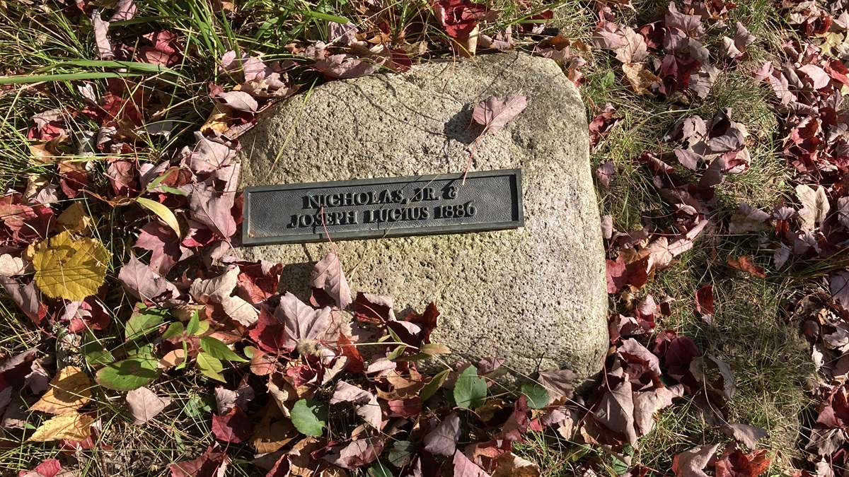
The first stone, when hiking southwest to northeast on the trail, is the Nicholas Jr. and Joseph Lucius Stone. They lived in Solon Springs and were “among the last to utilize this trail for transportation,” according to the brochure. The stone gives 1886 as the year of the last portage by the Luciuses before the trail entered a period of abandonment.
I missed the George Stuntz Stone, but I did go back, so Stuntz will appear out of sequence in this account.
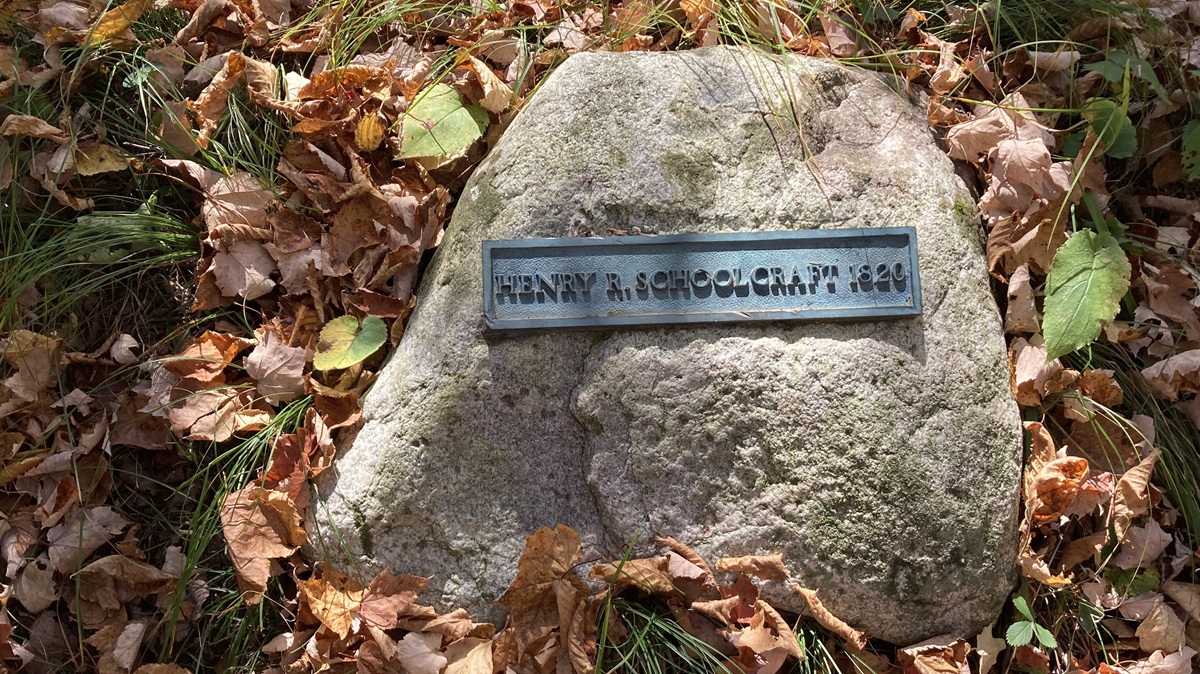
The Henry R. Schoolcraft’s Stone is dated 1820, which the brochure notes is “probably a reference to a stopover” the explorer and ethnologist made at the mouth of the Brule prior to his 1832 portage there following his trip to the source of the Mississippi River at Lake Itasca. Schoolcraft is credited with “discovering” the source of the Mississippi by virtue of leading a government-backed expedition to map and claim it, though he was led by an Ojibwe guide and was not even the first white person to go there.
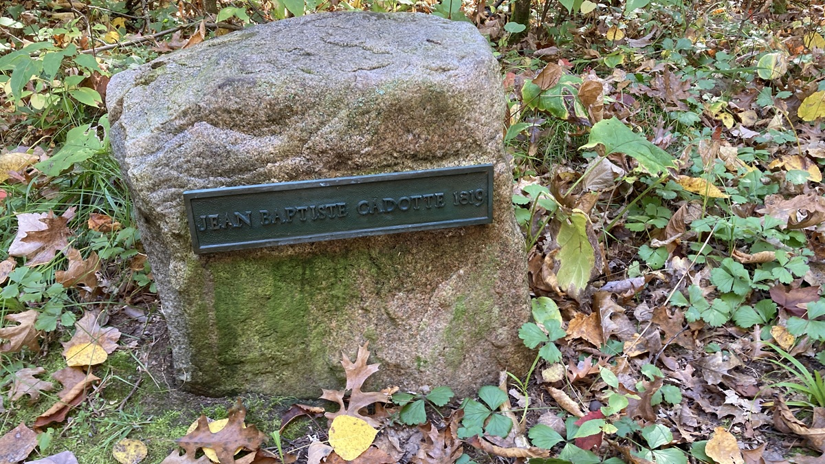
Next up is the Jean Baptiste Cadotte Stone. Cadotte apparently passed through in 1819 while engaged in the fur trade. This would be Jean Baptiste Cadotte II, not to be confused with his father who, by the way, beat Schoolcraft to the source of the Mississippi by 28 years.
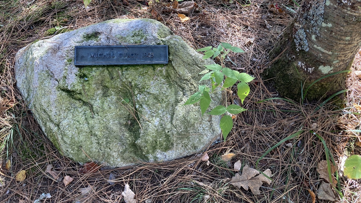
Michel Curot, another fur trader, passed through in 1803 and is on the fifth stone. The brochure notes Curot was “not cut out for the life of a fur trader. He was often ‘out foxed’ in deals with the natives and met an early death about a year later.”
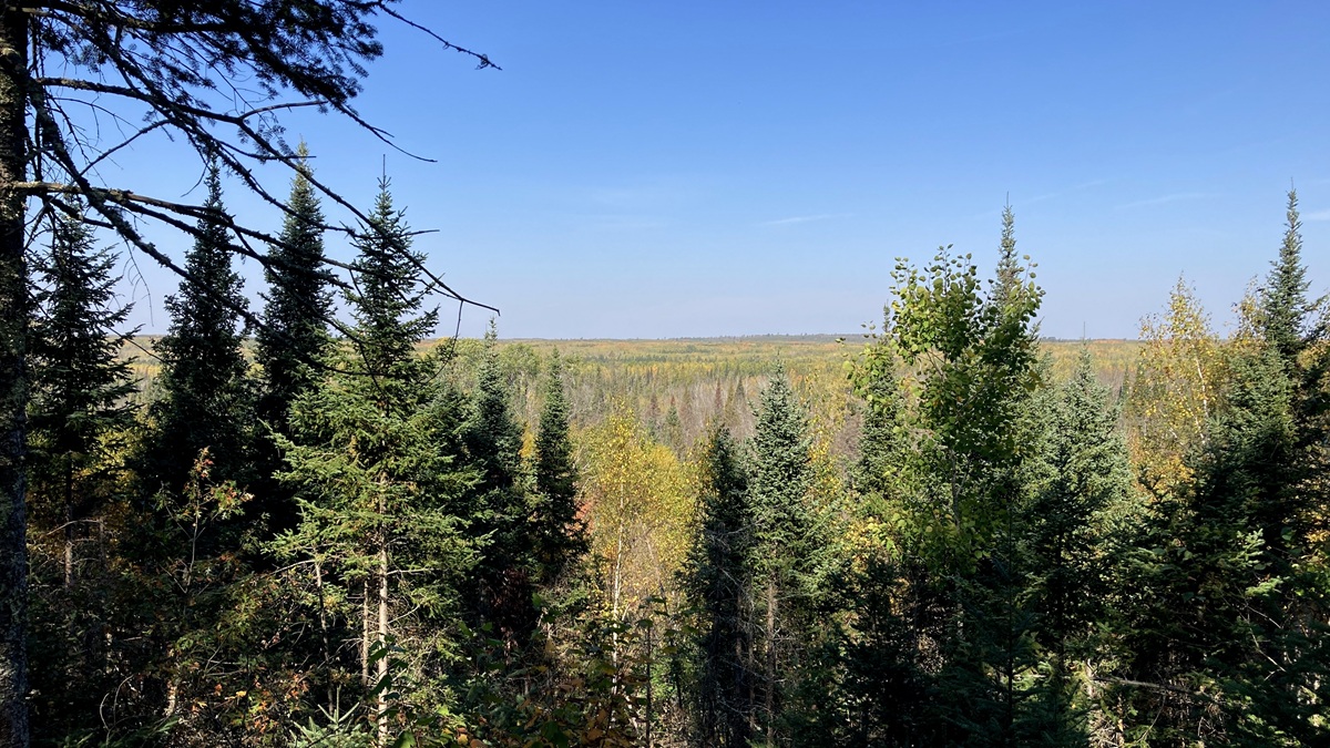
Somewhere in the vicinity of the view in the photo above, I missed the Jonathan Carver Stone and wasn’t able to spot it retracing my steps. According to the brochure, the Englishman Carver was a mapmaker looking for the elusive Northwest Passage to the Pacific Ocean in 1768. We can argue about which is more difficult to find, the Northwest Passage or the Carver Stone.
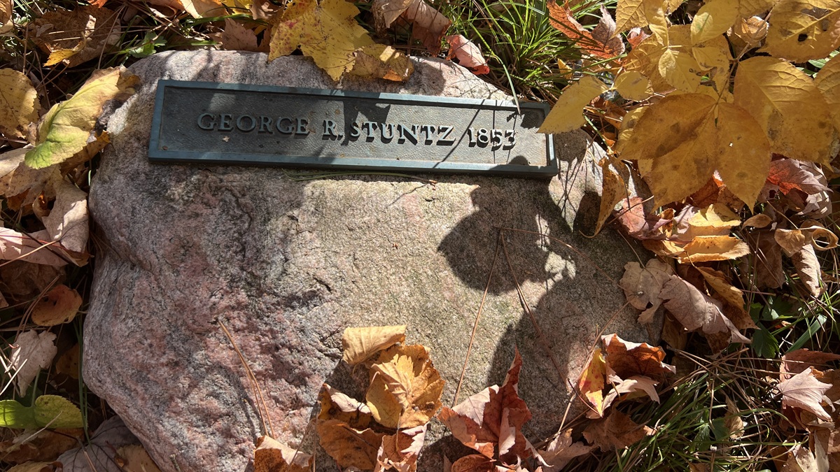
Reversing course on the trail to search in vain for Carver, I instead found the George Stuntz Stone, which I didn’t even know existed. Stuntz is frequently cited in Duluth history as the city’s first permanent white settler. In 1852, one year before shacking up on Minnesota Point, Stuntz was in the Brule-St. Criox area while surveying the western end of Lake Superior and its tributaries. He returned in the spring of 1853, which might be why the brochure cites 1852 and the stone gives the year 1853. “This monument was lost for several decades and finally located at the foot of the slope,” the trail brochure also notes. “It was returned to its approximate original location in April of 2009.” Let’s just call it Lost and Found Rock.
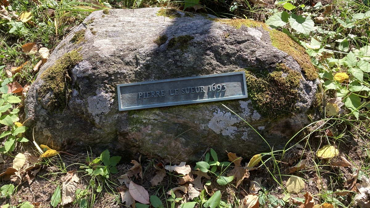
The seventh stone bears the name Pierre Le Sueur, who “was dispatched by the authorities of New France” in 1693 to keep the routes along the Brule and St. Croix rivers open, according the brochure.
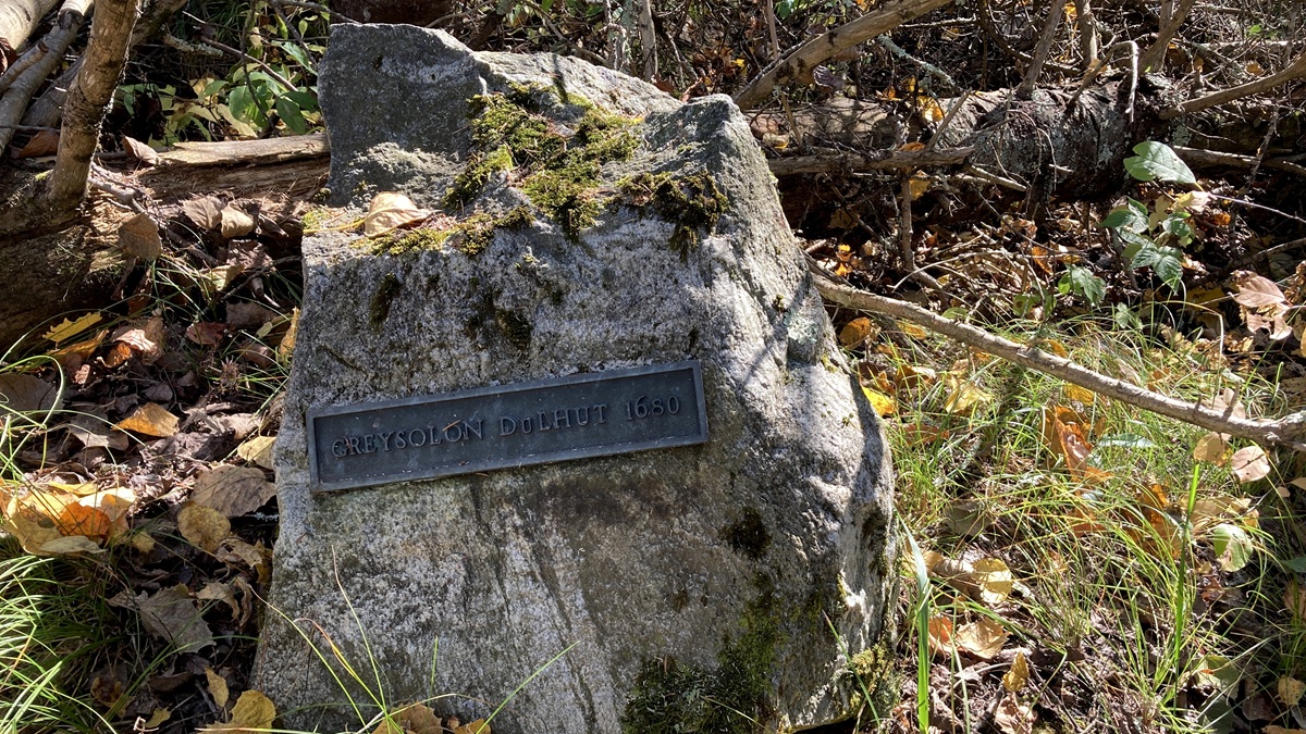
And finally, the eighth stone is for Daniel de Gresolon, the Sieur du Lhut, who portaged through this area one year after the trip that landed him on Minnesota Point, where the city of Duluth would later be named in his honor. The stone renders the name “Greysolon DuLhut” with the year 1680. According to the trail brochure, Du Lhut wrote that he “broke through about one hundred beaver dams before making the portage into the St. Croix.”
The last/first stone at the end/start of the historic portage route is not the end of the history on the trail. A path to the east fork of the Bois Brule River has a boardwalk that honors Charles W. Zosel, or “Chuck of the Woods,” who was superintendent of the Brule River State Forest from 1979 to 1999 and was largely responsible for restoring and maintaining the historic trail.
The North Country Trail continues from there away from the river, passing through other landmarks like “Sweet Rebecca Creek,” which seems to be just a nice little stream with an old wooden sign bearing a cute name, but maybe there are all sorts of interesting tales about this Rebecca character that can only be learned by prodding the locals for details.
I ended my hike at Highland Town Hall, which happens to be the home of JFK’s World Famous Ball of Twine. But now we are on history overload; I’ll pick up here in the next chapter.
It must, of course, be mentioned that the absence of written accounts of the native history of the trail leaves that part of the story mostly up to speculation. There is a tendency to either want to conflate or dismiss the accomplishments of the white explorers, and while I’m prone to take pokes at them I also should note that, at the very least, it can be said they were far heartier than yours truly. I’m just a yutz who saunters the trail in expensive sneakers on particularly nice days when I feel like it, if there aren’t too many bugs. And then my wife picks me up at the end of the hike and drives me to a roadside bar for a good beer before we snuggle into a comfortable bed. That’s the rugged life of an explorer in 2026. Add it to the brochure description when they roll in the Paul Lundgren Stone.
North Country Trail in Wisconsin Index
Part 1: Wood Tick Flats
Part 2: Nemadji River Valley
Part 3: Crossing the Border
Part 4: Town of Summit
Part 5: Green Undies in Gordon
Part 6: Backtracking
Part 7: Returning to the Border
Part 8: Brule-St. Croix Portage