

Postcard from the Breathtaking Duluth-Superior Hi Bridge
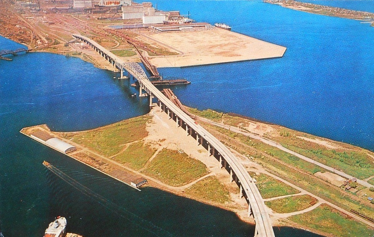
This undated postcard, published by Northern Minnesota Novelties, shows an aerial view of the John A. Blatnik Bridge connecting Duluth to Superior. When it opened on Dec. 2, 1961, it was named the Duluth-Superior Bridge and has been known colloquially as the “High Bridge” throughout its existence, though the name was often rendered as “Hi Bridge” in the bridge’s early years. It was named for Congressman Blatnik on Sept. 24, 1971.
The Blatnik Bridge will close in early 2027 as work begins to build a replacement. To read more about that process, visit the Minnesota Department of Transportation’s I-535 Blatnik Bridge page.
The caption on the back of the postcard reads:
Duluth-Superior Hi Bridge
One of the world’s largest bridges is located at the head of the Great Lakes. The Duluth-Superior Hi Bridge links the two communities with the ultimate in modern safety and efficiency. The span is breathtaking in its grandeur.Color photo by Basgen Photography
This bridge inspired me to pray every time I drove across pulling our Lund to go fishing in Ely from Chicago that there would be no wind.
Cool photo! Anyone know what that railroad(?) bridge in the upper left corner would have gone to? Not the interstate swing bridge but the one going due west.
Looking at current satellite view it seems like it’s heading in the direction of the taconite docks in West Duluth, but hard to say if the bridge changed direction out of frame.
The nearby bridge is Northern Pacific Railroad’s St. Louis Bay Bridge, which ran from Rice’s Point and along the edge of Interstate Island Wildlife Management Area to the General Mills Elevators S & X site in Superior. The image above is from a much larger aerial photo from 1961.
The bridge was in operation from 1885 to 1986.