

Postcard from Lookout Point

“Lookout Point” is probably meant in a generic sense in this postcard, as in “a lookout point.” And if the illustration is based on what a specific piece of Lake Superior shoreline looked like roughly a century ago, that shoreline has obviously changed in appearance over time.
Still, for fun, it’s worth asking, “Where in Duluth is Lookout Point? What does it look like today?”
It is fully expected that anyone who has a theory will dress up in a snappy Navy suit and shoot a photo in the appropriate location as evidence.
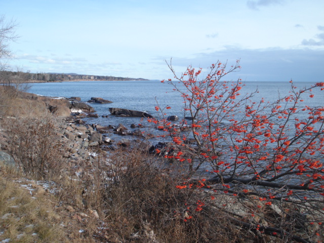
I suppose I would say that Lookout Point in Duluth would be a place like the rock outcrop at the front of the Peace Garden by Enger Tower and perhaps not the top of a small rock poking two feet out from the shoreline of Lake Superior. But if I were to take a guess for the location of this particular so-designated Lookout Point, it looks like The Ledges section of the Lakewalk near 25th Avenue East. I don’t say that with enough confidence to back that claim with a photo of me down there in a Navy suit but I will add for comparison a photo lifted from a 12-year-old PDD post.
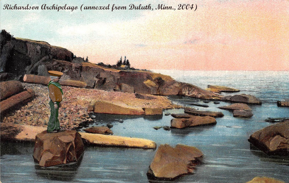
Ah yes the Richardson Archipelago which I annexed from Duluth in 2004.
Okay, yes, so the original postcard must be from before 2004, because this similar postcard shows the same location with its current name.
Looks like the mouth of the Lester to me.
@MATTHIJS: I’m promoting you to Secretary of State
Accepted. I promise to serve with the seriousness that the position demands.
@MATTHIJS: A grateful archipelago salutes you