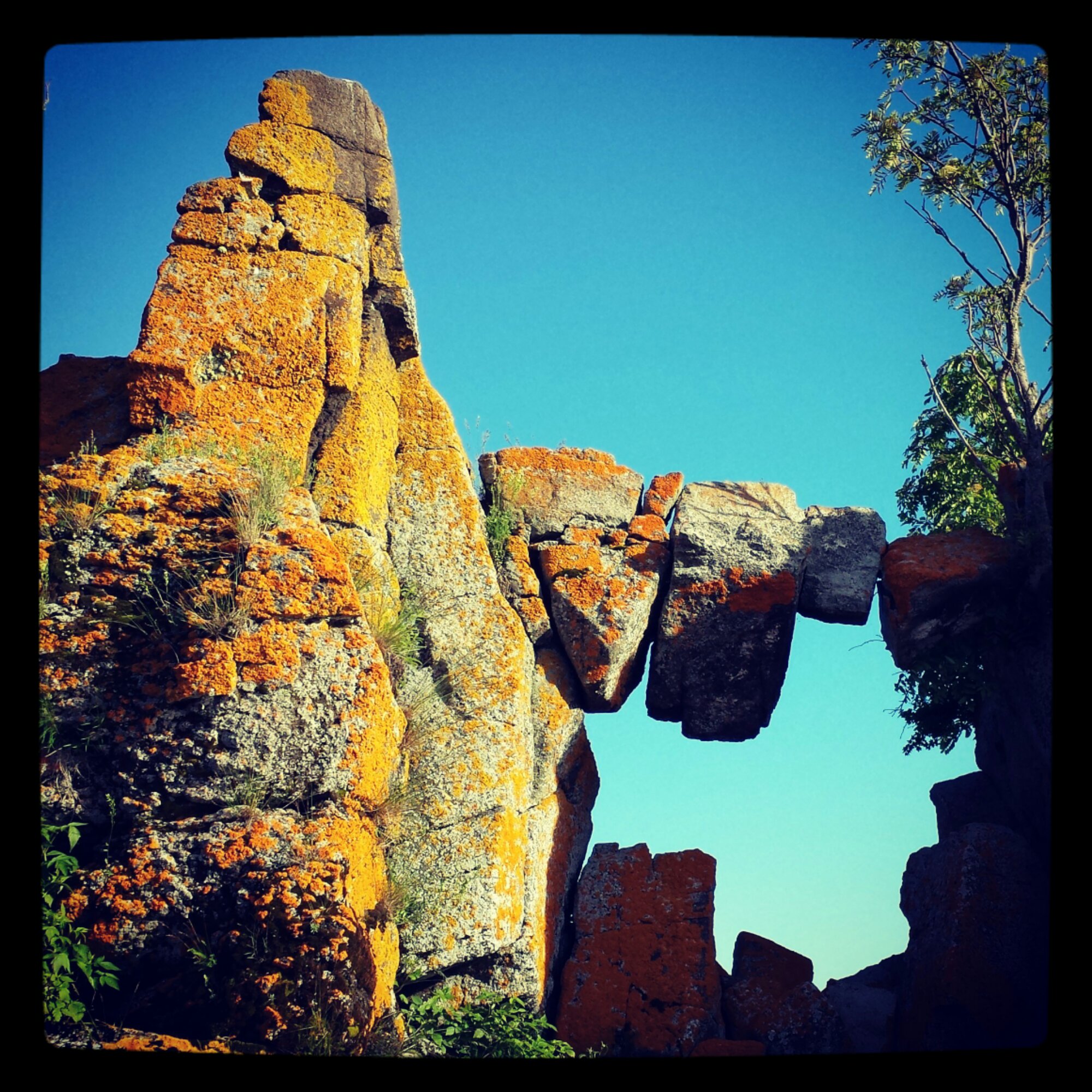
Wildknits got it! It is the outlet of the Pigeon river (Pigeon Bay), and that rock formation is on one of the Boundary Islands basically right on the border between US and Canada. https://goo.gl/maps/Kx98g
The Suzie Islands are actually on the south side Pigeon Point, Pigeon Bay and the Boundary Islands are on the north side of the point as seen in this map. https://goo.gl/maps/dEyK6


Anywhere near Tettagouche?
No. Farther north.
Crushed Skull Gulch, near Parapalegic Pass.
Isn’t that near Instagram Lookout?
Good guess but no.
It looks like something that might be near the end of Sleeping Giant.
Getting closer, but not near Sleeping Giant. I will say they are islands and we entered the water within the US.
Click for larger view.

Pigeon River outlet, in the chain of islands that contain Susie Island?
Wildknits got it! It is the outlet of the Pigeon river (Pigeon Bay), and that rock formation is on one of the Boundary Islands basically right on the border between US and Canada. https://goo.gl/maps/Kx98g
The Suzie Islands are actually on the south side Pigeon Point, Pigeon Bay and the Boundary Islands are on the north side of the point as seen in this map. https://goo.gl/maps/dEyK6