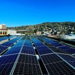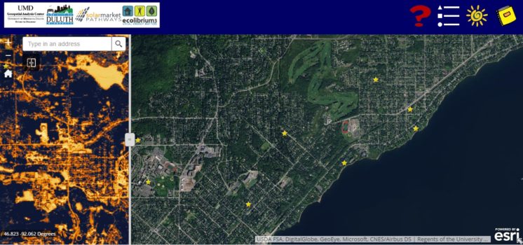

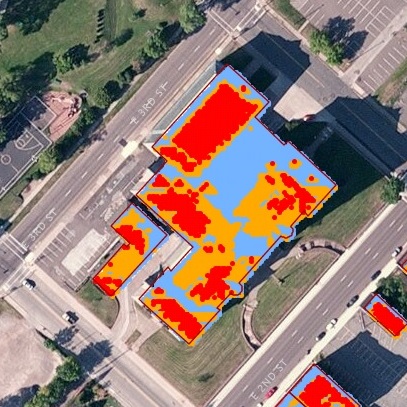
The project uses aerial photos of Duluth to map out individual building footprints and show measurements to provide recommendations for solar panel placement and sizing. It also shows cost estimates and offers information about available incentives, financing and installers.
Additionally, the map can serve as a platform for more detailed planning by the city of Duluth for infrastructure considerations, including local solar energy projects.
The project is a collaboration between the UMN Energy Transition Lab, the Midwest Renewable Energy Association, UMD Geospatial Analysis Center, the Great Plains Institute, and three Georgetown Energy Prize partners: Ecolibrium3, UMD and the city of Duluth. The imagery used to digitize buildings was shared in a partnership project with the city of Duluth and the state of Minnesota. Funding was provided by the Department of Energy and the University of Minnesota Extension through a Regional Sustainable Development Partnership grant.