Have you walked, biked, snowmobiled or whatevered this trail? It starts/ends just off of North 63rd Avenue West and Greene Street (though technically there are random sections of it that pop up further east) and goes west out to Beck’s Road and I-35, where it gradually disappears.
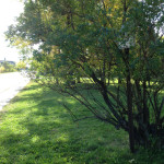
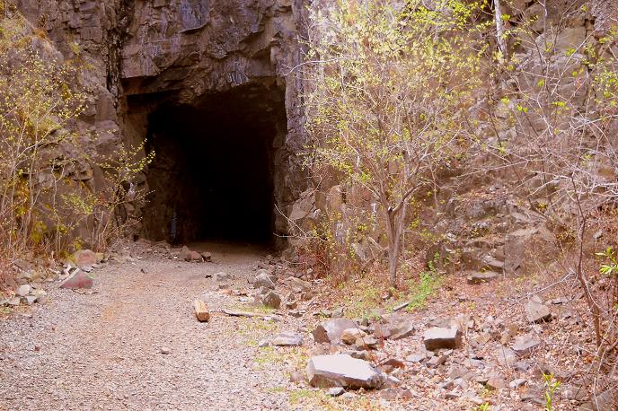
Along the way, it goes behind the Lake Superior Zoo, through Spirit Mountain’s ski hills, across that rickety old bridge, parallels the Munger Trail below Bardon’s Peak and tunnels under Ely’s Peak (as seen in the photo).
I use this trail a lot, so it annoys me that it seems to have no name. On Google maps it’s labeled “Grant & Aide Tri” and “Grant and Aide Trail.” I don’t think that’s an actual name, though. I think it just means it’s a trail that is eligible for maintenance and grooming grants-in-aid from the DNR.
I’m pretty sure the route belongs to the city (the part that’s in the city limits, anyway). It used to be Canadian National Railway property. The Duluth, Winnipeg, and Pacific Railroad built tracks on it in 1912. The route was abandoned in 1984.
So, what should it be called? Here’s the ideas so far:
DWP Trail
You know, for Duluth, Winnipeg, and Pacific Railroad. Sounds boring, I know. Forget I suggested it.
Onsgard Trail
For Bert Onsgard, founder of the Lake Superior Zoo. It doesn’t flow nicely off the tongue, but it ain’t bad.
That’s all I’ve got so far. I’ll keep thinking. Help me out if you can.