History Posts

In case anyone is wondering how we do things around here …

How we do things at Duluth

What happened to that poster from R.T. Quinlan’s men’s room?

Having spent several hours at R.T. Quinlan’s Saloon on Sunday, I was reminded of the framed poster that used to hang outside the toilet stall in the men’s room, next to the urinal. I thought there was a good chance an image of it might be available on the Internet somewhere, but my searches for “classic bathtubs, breasts” yielded only distractions.

Banner Photo Info: Where’s the Party?

pdd-banner_21

I found the graphic of all the banner photos, which was great fun to look at.  But I want to know: what’s going on in this photo?  Obviously a somber gathering, but what are the details? Of course, apologies if I just didn’t search well enough.

Joe Lundeen’s Shoes & Shoe Repairing

The re-siding job going on at the apartment building at 6301 Grand Ave. exposed this sign for Joseph A. Lundeen’s shoe shop. A quick search of city directories indicates Lundeen got his start with the Hartman Shoe Co. and by the mid-1920s went into business for himself in the Cormier Dry Goods building at 6227 Grand Ave. By 1950 he had moved across the avenue to the building shown above.

Icehouse Pillar’s Final Resting Spot

In a follow-up to the “Has a little of Uncle Harvey gone missing?” caper, the Duluth News Tribune reported on Sunday that a three-person team of St. Louis County Rescue Squad members, working with a remotely operated underwater vehicle, located the concrete column from Uncle Harvey’s Mausoleum largely intact on Saturday afternoon in about 9 feet of water. City Pages put together this edit of the underwater video.

Inside a Duluth trolley car — Aug. 2, 1922

Duluth Trolley 2-Aug-1922

Has a little of Uncle Harvey gone missing?

Harvey1 harvey2

Mike Scholtz’s photos of the sand- and gravel-hopper ruins known as “Uncle Harvey’s Mausoleum” suggest the round column near the shore collapsed at some point in recent days. The photo at left is from 2013. The photo at right is from today.

Postcards from Duluth’s ore docks

Duluth, MN, Mammoth Ore Docks, Aeroplane View, c1920s

Duluth’s first ore dock was built in 1893, just east of 34th Avenue West. The Duluth, Missabe and Northern Railway built several docks there for loading iron ore from the Iron Range for shipment to steel plants in the East. The first five docks were built of wood, which was gradually replaced by steel and concrete.

An Incline Railway Mystery

Incline Debris 01

I’m back again with another mystery! Way back in October of 2006, I was exploring the topmost bit of overgrown sidewalk on Seventh Avenue West, (between Skyline and West Eighth Street). This walkway ran parallel to east side of the old Incline Railway, which pedestrians would have used as access for each stop along the way. At the top at West Eighth Street, where the sidewalk first begins, I happened to notice off to the side in the overgrowth, a large pile of of steel girders and wooden posts, located right about where the incline once stood.

Postcards from Congdon Park

Congdon Bridge Postcard One Cent

Perfect Duluth Day in Nashville

I really enjoy rhetoric guy’s posts with details about a typical day in Duluth from his perspective. After spending a day in Nashville leading up to an evening of Duluth musicians performing on an iconic American stage, I couldn’t help thinking about sharing this profound experience in a similar way.

Palace Theater tour from 2002

The Palace Theater in Superior was torn down in 2006, but this video of a tour in 2002 has emerged on YouTube.

Cool Duluth Minnesota: Summer City of the Continent

Cool Duluth

This little item was recently unearthed by Michael J. Martens of Portland, Ore., and sent PDD’s way via Jess Koski.

History Mystery: Point of Rocks

Google Map of Point of Rocks
Google Maps

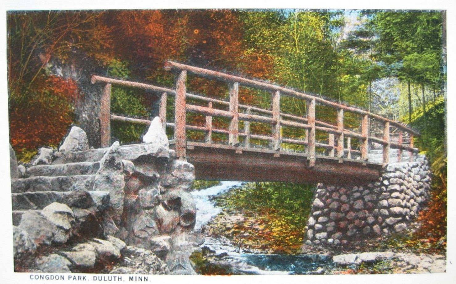
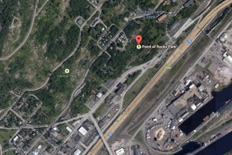
Across from the M&H gas station at Point of Rocks Park, there is a gap in the rocks, a ravine, for which in the past appeared to have many buildings around it. Was this the location of Duluth’s Little Italy? It seems like it may have been. The big question, however, is what is with the ravine there? It seems to be man made, and almost as if they were attempting to continue Superior Street, as it lines up near perfectly. The buildings slowly disappear over the decades, until they all seem to be gone by 1989. Was this ravine an attempt to continue Superior Street, or was there some other reason for it? It’s been fascinating me for some time. (I’ve included links to historical aerial photos of the area).

Bobby Aro: King of the Great Northwoods

WDSE-TV presents this one-hour documentary on Bobby Aro, the famed 1950-90s Northern Minnesota disc jockey, singer/songwriter and entertainer who put St. Louis County’s Highway 7 on the map. Aro’s Finn-glish novelty songs are well known throughout the Finish communities of the United States and Canada.

Do NOT follow this link or you will be banned from the site!