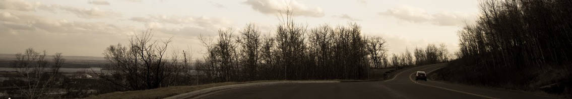
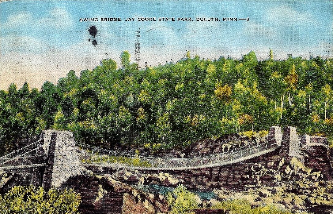
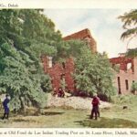
Postcards from the Swinging Bridge at Jay Cooke State Park
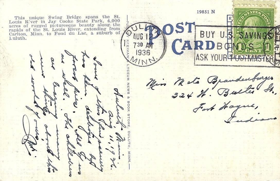
Swinging Bridge Over St Louis River

OneRiverMN-Logo-FC-BadgeThe text on the back of old-school Swinging Bridge postcards tends to read the same no matter what the image: “This unique Swing Bridge spans the St. Louis River in Jay Cooke State Park, 4,000 acres of rugged picturesque beauty along the rapids of the St. Louis River, extending from Carlton, Minn., to Fond du Lac, a suburb of Duluth.”

Swinging Bridge at Jay Cooke

Swing Bridge 1936 - Jay Cooke State Park

This last card was mailed Aug. 12, 1936, to a Miss Brandenburger of Fort Wayne, Indiana. The message on the back reads:

Some of this fine scenery has been destroyed by forest fires. All of us are well. The children are learning many new things about this old world of ours.

Swing Bridge 1936 - Jay Cooke State Park - back side

6 Comments

TimK

about 8 years ago

I wonder which fire is being referenced. It seems too late to be the Great Hinkley Fire. When was the Rice Lake "Airport" Fire?

Paul Lundgren

about 8 years ago

Presumably the Cloquet Fire of 1918, but one would think by 1936 things would have been fairly lush.

hbh1

about 8 years ago

Here is the historical society sign at the corner of West Calvary and Rice Lake Road.

TimK

about 8 years ago

Thanks HBH1. I guess that answers a couple of questions. The Rice Lake fire wasn't that big and it happened in '31!

hbh1

about 8 years ago

Yeah. I would guess that they're still talking about 1918 in this postcard. I mean, when I go hiking back of Woodland, I am pretty conscious of the fact that much of what you're seeing (like say, on both sides of Vermilion Road), is still the regrowth from 1918. That's less than a hundred years of growth. An aspen's lifetime is about 80-90 years. The lifetime of a birch is about 150 years, tops. If you walk through these semi-urban forests, you see some white pine and a lot of fairly young red pine. The rest is popple and birch etc. What we see around us, for the most part, is the regrowth from the first and possibly second cuts (logging) and then the fire. Our most serious clearcut logging was right around 1880-1890. Millions and millions of board feet went down the rivers to ships and built Chicago after the fire (and here and ... ) 

So, I wouldn't be too surprised that the devastation the postcard refers to is 1918 (and possible subsequent smaller-scale fires). Think of how few of the trees left after the big clearcuts would have survived that fire (because they left few standing, if any—unlike the modern way of logging--so you had big rotting slash piles and forests of trees not even half way  to full grown. 

To someone traveling here in the 1930s, they'd have been raised on the tales of this area being "The Big Woods"... but at that time, we definitely weren't the big woods. Look at photographs from 1900 here, and you see scalped hillsides with a few scabrous trees. When I stand on top of Gazebo Point near Hartley, I look out on a sea of treetops. A hundred years ago, those trees were saplings.

Matthijs

about 2 years ago

The swinging bridge in the postcard was destroyed by a spring flood in May of 1950. My great aunt has pictures of the washed out bridge in her photo collection.

Leave a Comment

Only registered members can post a comment , Login / Register Here

Do NOT follow this link or you will be banned from the site!
Read previous post:
This just in: It’s windy

https://www.youtube.com/watch?v=zs8XZFrlnL4 It kind of looks like the Superior Entry Breakwater Lighthouse is going to blow over in this video via...

Close